Ken Jones Aerodrome
Ken Jones Aerodrome (IATA: POT, ICAO: MKKJ) is an airport located 10 km (6.2 mi) west of Port Antonio, in northeastern Jamaica. It serves tourist resorts in the area and local travel.[1]
Ken Jones Aerodrome | |||||||||||
|---|---|---|---|---|---|---|---|---|---|---|---|
| Summary | |||||||||||
| Airport type | Public | ||||||||||
| Operator | Airports Authority of Jamaica | ||||||||||
| Serves | Port Antonio, Jamaica | ||||||||||
| Elevation AMSL | 20 ft / 6 m | ||||||||||
| Coordinates | 18°11′56″N 076°32′04″W | ||||||||||
| Map | |||||||||||
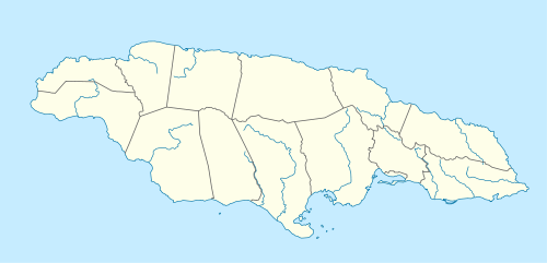
 MKKJ Location in Jamaica | |||||||||||
| Runways | |||||||||||
| |||||||||||
Ken Jones Aerodrome handled approximately 8,546 passengers in 2001.[4] The airport formerly had scheduled passenger service provided by Air Jamaica Express.
Facilities
The airport resides at an elevation of 20 ft (6 m) above mean sea level.[2] It has one runway designated 09/27 with an asphalt surface measuring 3,425 ft × 90 ft (1,044 m × 27 m). There are no fueling facilities and the airport has no night flight operations.[1]
Airlines and destinations
There are no scheduled services to the aerodrome.
Passengers
The following table shows the number of passengers using the airport annually from 1997 through 2001.[4]
| 1997 | 1998 | 1999 | 2000 | 2001 | |
|---|---|---|---|---|---|
| Passengers | 12,251 | 11,493 | 12,400 | 9,836 | 8,546 |
References
- "Ken Jones Aerodrome". Airports Authority of Jamaica. Archived from the original on 15 August 2018. Retrieved 22 August 2011.
- Airport information for MKKJ from DAFIF (effective October 2006)
- Airport information for POT at Great Circle Mapper. Source: DAFIF (effective October 2006).
- "Domestic Aerodromes (Eastern Region)". Airports Authority of Jamaica. Archived from the original on 3 May 2007.