Kayser Mountains
The Kayser Mountains (Dutch: Kaysergebergte) is a mountain range in the Sipaliwini District of Suriname. It is named after Conrad Carel Käyser. The Kayser Airstrip was built in 1960 at the foot of the mountains as part of Operation Grasshopper to access the interior of Suriname.[1]
| Kayser Mountains | |
|---|---|
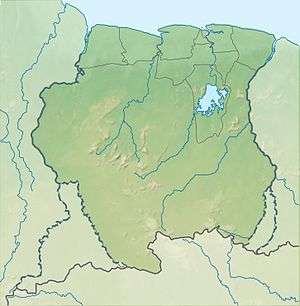 Kayser Mountains Location in Suriname | |
| Highest point | |
| Elevation | 861 m (2,825 ft) |
| Coordinates | 3°1′N 56°41′W |
| Geography | |
| Country | Suriname |
Reference
- "Operatie sprinkhaan" (PDF). Landewers (in Dutch). Retrieved 25 June 2020.
gollark: Too... Much... Browser...
gollark: If you used a newer version you could get access to the latest CCT features, like palettes and extra characters.
gollark: Why MinecraftEdu?
gollark: A screenshot would help.
gollark: Is there a modem o nthe monitor?
This article is issued from Wikipedia. The text is licensed under Creative Commons - Attribution - Sharealike. Additional terms may apply for the media files.