Kasama Airport
Kasama Airport (IATA: KAA, ICAO: FLKS) is an airport serving Kasama, Northern Province, Zambia.
Kasama Airport | |||||||||||||||
|---|---|---|---|---|---|---|---|---|---|---|---|---|---|---|---|
| Summary | |||||||||||||||
| Airport type | Public | ||||||||||||||
| Serves | Kasama | ||||||||||||||
| Elevation AMSL | 4,542 ft / 1,384 m | ||||||||||||||
| Coordinates | 10°13′00″S 31°08′00″E | ||||||||||||||
| Map | |||||||||||||||
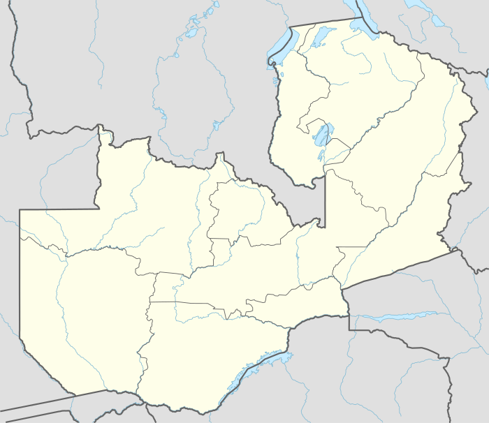
 KAA Location of the airport in Zambia | |||||||||||||||
| Runways | |||||||||||||||
| |||||||||||||||
The Kasama non-directional beacon (ident: KS)[3] is located at the eastern edge of the field.
Airlines and destinations
| Airlines | Destinations |
|---|---|
| Proflight Zambia | Lusaka |
gollark: OH REALLY?
gollark: Oh, and you can index strings so `("abcd")[4]` returns `"d"`.
gollark: I also made it so you can add and subtract functions.
gollark: PotatOS also uses `debug` to provide its `viewsource` command.
gollark: I also let you add and subtract strings.
See also
- List of airports in Zambia
- Transport in Zambia


References
- Airport information for KAA at Great Circle Mapper.
- Google Maps
- "SkyVector: Flight Planning / Aeronautical Charts". skyvector.com. Retrieved 2018-08-30.
- Google Earth
- CloudMade maps
External links
- OpenStreetMaps - Kasama
- FallingRain - Kasama Airport
- Accident history for Kasama Airport at Aviation Safety Network
This article is issued from Wikipedia. The text is licensed under Creative Commons - Attribution - Sharealike. Additional terms may apply for the media files.