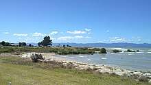
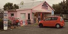
Kaiaua
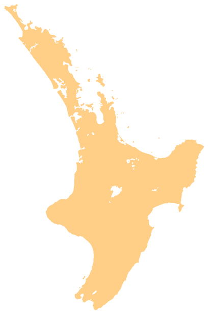
Kaiaua is a coastal settlement on the Firth of Thames, in the Hauraki District and Waikato region of New Zealand's North Island.[1]
Kaiaua | |
|---|---|
 Kaiaua | |
| Coordinates: 37.111°S 175.296°E | |
| Country | New Zealand |
| Region | Waikato region |
| District | Hauraki District |
| Population (2013) | |
| • Total | 789 |
The New Zealand Ministry for Culture and Heritage gives a translation of "eating mullets" for Kaiaua.[2]
Kaiaua and its surrounds, including Miranda and Whakatiwai, had a population of 789 at the 2013 New Zealand census, an increase of 123 people since the 2006 census. There were 402 males and 384 females. Figures have been rounded and may not add up to totals.[3] 84.1% were European/Pākehā, 25.5% were Māori, 2.4% were Pacific peoples and 1.6% were Asian.[4]
The settlement was devastated by severe floods in January 2011 and January 2018.[5] Some residents subsequently built their own illegal stopbank.[6]
Part of the New Zealand Cycle Trail runs between Kaiaua and Thames on the other side of the Firth.[7] The route incorporates a coastal bird watching area.[8]
Education
Kaiaua School is a co-educational state primary school,[9] with a roll of 22 as of March 2020.[10][11]
References
- Hariss, Gavin. "Kaiaua, Waikato". topomap.co.nz. NZ Topo Map.
- "1000 Māori place names". New Zealand Ministry for Culture and Heritage. 6 August 2019.
- 2013 Census QuickStats about a place : Kaiaua
- 2013 Census QuickStats about a place (Cultural diversity) : Kaiaua
- Peacock, Alice (23 December 2018). "Mopping up and moving on: Kaiaua a year on from devastating flood". New Zealand Media and Entertainment. The New Zealand Herald.
- Wilson, Libby (26 October 2018). "DIY flood-stopper: frustrated Hauraki resident builds own stopbank to protect township". Stuff.
- "Pūkorokoro-Miranda to Thames". haurakirailtrail.co.nz. New Zealand Cycle Trail.
- "Kaiaua to Thames" (PDF). haurakirailtrail.co.nz. New Zealand Cycle Trail.
- "Ministry of Education School Profile". educationcounts.govt.nz. Ministry of Education.
- "New Zealand Schools Directory". New Zealand Ministry of Education. Retrieved 26 April 2020.
- "Education Review Office Report". ero.govt.nz. Education Review Office.