John Murray Island
John Murray Island, Danish John Murray Ø, is an uninhabited island in the far north of Greenland, in the Northeast Greenland National Park area.
 John Murray Island | |
| Geography | |
|---|---|
| Location | Lincoln Sea |
| Coordinates | 82°50′N 48°00′W |
| Area | 120.9 km2 (46.7 sq mi) |
| Highest elevation | 799 m (2,621 ft) |
| Administration | |
| Zone | Northeast Greenland National Park |
| Demographics | |
| Population | 0 |
Geography
John Murray Island is located off the mouth of J.P. Koch Fjord in the Lincoln Sea, to the west of Sverdrup Island and to the north of Nares Land. The island has an area of 120.9 km ² and a shoreline of 43.1 kilometres.[1] Beaumont Island lies 20 km to the west of the western end of the island.[2]
Illustrations
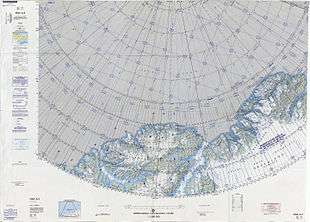 Map of part of Ellesmere Island and far Northern Greenland. |
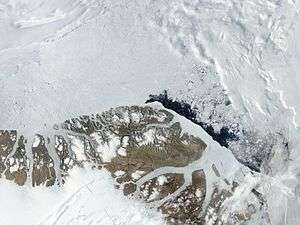 MODIS Satellite Image of Northern Greenland |
gollark: Unpaid taxes, obviously.
gollark: I was replying to this.
gollark: Oops, wrong reply.
gollark: School makes most subjects bad.
gollark: Just use neural networks™.
See also
This article is issued from Wikipedia. The text is licensed under Creative Commons - Attribution - Sharealike. Additional terms may apply for the media files.