Ira, Iowa
Ira is an unincorporated community located in Jasper County, Iowa, United States, at latitude 41.777174 and longitude 93.21383. The ZIP Code is 50127.
Ira, Iowa | |
|---|---|
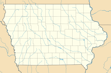 Ira Location within the state of Iowa  Ira Ira (the United States) | |
| Coordinates: 41°46′40″N 93°12′21″W | |
| Country | United States |
| State | Iowa |
| County | Jasper |
| Elevation | 856 ft (261 m) |
| Time zone | UTC-6 (Central (CST)) |
| • Summer (DST) | UTC-5 (CDT) |
| ZIP codes | 50127 |
Ira was platted in 1883. It was originally called Millard.[1]
References
- Weaver, James Baird (1912). Past and Present of Jasper County, Iowa, Volume 1. B.F. Bowen. p. 361.
Municipalities and communities of Jasper County, Iowa, United States | ||
|---|---|---|
| Cities | Map of Iowa highlighting Jasper County | |
| Townships | ||
| Unincorporated communities | ||
| Footnotes | ‡This populated place also has portions in an adjacent county or counties | |
This article is issued from Wikipedia. The text is licensed under Creative Commons - Attribution - Sharealike. Additional terms may apply for the media files.