Ipota Airport
Ipota Airport (IATA: IPA, ICAO: NVVI) is an airfield near Ipota on the island of Erromango, in the Taféa province in Vanuatu.[1] It is one of two airfields in the island, the other being Dillon's Bay Airport in the west.
Ipota Airport | |||||||||||
|---|---|---|---|---|---|---|---|---|---|---|---|
| Summary | |||||||||||
| Airport type | Public | ||||||||||
| Serves | Erromango, Taféa, Vanuatu | ||||||||||
| Location | Ipota | ||||||||||
| Elevation AMSL | 23 ft / 7 m | ||||||||||
| Coordinates | 18°51′23″S 169°17′00″E | ||||||||||
| Map | |||||||||||
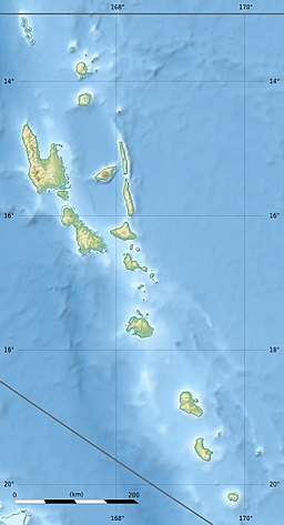 NVVI Location of airport in Vanuatu | |||||||||||
| Runways | |||||||||||
| |||||||||||
Facilities
The airport resides at an elevation of 23 feet (7 m) above mean sea level. It has one runway which is 930 metres (3,051 ft) in length.[1]
Airlines and destinations
| Airlines | Destinations |
|---|---|
| Air Vanuatu | Aniwa, Port Vila, Tanna |
gollark: Hmm, actually, what codec should I use?
gollark: Okay, it's 20Mbps (!!!!!) H.264 and only 3 minutes long.
gollark: Depending on how long it is and how bee apio the macronoids decide to be.
gollark: I will offer a compressed version in a few minutes.
gollark: This is really rather bad.
References
- Airport information for Ipota, Taféa, Vanuatu (NVVI / IPA) at Great Circle Mapper.
- Ipota Airfield coordinates from Wikimapia
This article is issued from Wikipedia. The text is licensed under Creative Commons - Attribution - Sharealike. Additional terms may apply for the media files.