Impfondo Airport
Impfondo Airport (IATA: ION, ICAO: FCOI) is an airport serving the city of Impfondo, Republic of the Congo.
Impfondo Airport | |||||||||||
|---|---|---|---|---|---|---|---|---|---|---|---|
| Summary | |||||||||||
| Airport type | Public | ||||||||||
| Serves | Impfondo, Republic of the Congo | ||||||||||
| Elevation AMSL | 1,099 ft / 335 m | ||||||||||
| Coordinates | 01°35′22″N 018°02′42″E | ||||||||||
| Map | |||||||||||
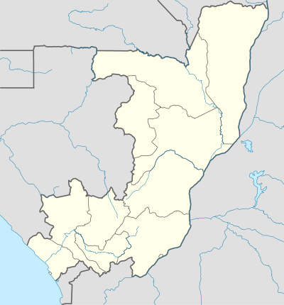
 ION Location in the Republic of the Congo | |||||||||||
| Runways | |||||||||||
| |||||||||||
The runway has an additional 63 metres (207 ft) of paved overrun on each end. East approach and departure will cross the Ubangi River, which is the international border with the Democratic Republic of the Congo.
Airlines and destinations
| Airlines | Destinations |
|---|---|
| Canadian Airways Congo | Brazzaville[3][4] |
gollark: The other real programmer way would be to intimidate the computer into rotating the image, through sheer force of will.
gollark: Apparently, yes.
gollark: Also, some phones "rotate" it by changing the metadata or something, and it seems to (WHYYYY, it should be a screenshot) be a picture.
gollark: Real programmers would of course directly consume the pixels from the cable to their monitor, thus obviating this problem.
gollark: Oh no, did someone *do something* again?
See also


- List of airports in the Republic of the Congo
- Transport in the Republic of the Congo
References
- Airport information for Impfondo Airport at Great Circle Mapper.
- Google Maps - Impfondo
- "Canadian Airways Congo - Programmes des vols". Archived from the original on 4 September 2014. Retrieved 16 June 2016.
- "Mangos for Meat". Airliner World (September 2014): 31.
External links
- OpenStreetMaps - Impfondo
- OurAirports - Impfondo
- Accident history for KEE at Aviation Safety Network
This article is issued from Wikipedia. The text is licensed under Creative Commons - Attribution - Sharealike. Additional terms may apply for the media files.