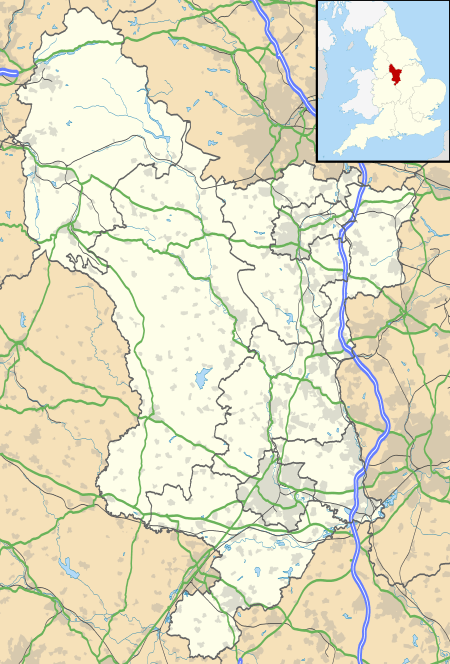
Hundall
Hundall is a hamlet in North East Derbyshire in the county of Derbyshire in England.
| Hundall | |
|---|---|
 Hundall Location within Derbyshire | |
| District | |
| Shire county | |
| Region | |
| Country | England |
| Sovereign state | United Kingdom |
| Post town | Dronfield |
| Postcode district | S18 |
| Police | Derbyshire |
| Fire | Derbyshire |
| Ambulance | East Midlands |
Location
West Handley lies just south of the village of Apperknowle, south-west of Marsh Lane, East of Unstone west of West Handley.[1]
History
Although today the hamlet is nothing more than a group of large farm houses, the villages in this area were known for Sickle and Scythe manufacturing.[2]
gollark: The geographically nearest tower might not actually have the best signal.
gollark: IIRC it was originally just based on signal strength scanned by the phone.
gollark: It lets devices find their distances to access points and thus (ideally) positions.
gollark: There is also the RTT-based multilateration thing. 802.11mc.
gollark: Radar. Detecting devices is ancient stuff.
References
- "Hundall, North East Derbyshire - area information, map, walks and more". Gewtoutside.ordancesurvey.co.uk. Retrieved 28 June 2018.
- "Hundall photos, maps, books, memories - Francis Frith". Francisfrith.com.
| Wikimedia Commons has media related to Hundall. |
This article is issued from Wikipedia. The text is licensed under Creative Commons - Attribution - Sharealike. Additional terms may apply for the media files.