Hornafjörður Airport
Hornafjörður Airport or Hornafjordur Airport (IATA: HFN, ICAO: BIHN) is an airport serving Höfn, Iceland. The airport is 5 kilometres (3.1 mi) north of the town.
Hornafjörður Airport | |||||||||||
|---|---|---|---|---|---|---|---|---|---|---|---|
| Summary | |||||||||||
| Airport type | Public | ||||||||||
| Operator | Isavia | ||||||||||
| Location | Höfn, Iceland | ||||||||||
| Elevation AMSL | 24 ft / 7 m | ||||||||||
| Coordinates | 64°17′44″N 15°13′38″W | ||||||||||
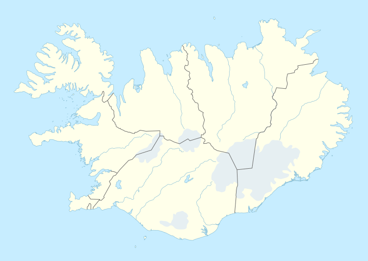
| Map | |||||||||||
 HFN Location of Airport in Iceland | |||||||||||
| Runways | |||||||||||
| |||||||||||
| Statistics (2016[1]) | |||||||||||
| |||||||||||
The Hornafjordur non-directional beacon (Ident: HN) is located 1.24 nautical miles off the threshold of runway 36.[4][5]
Airlines and destinations
| Airlines | Destinations |
|---|---|
| Eagle Air | Reykjavík |
gollark: You have to admit that this would be very cool if implemented literally everywhere.
gollark: It was a secret GTech™ project to make an automatic theme music system by tracking people entering/leaving a room using PIR sensors and passive WiFi monitoring.
gollark: Project ANTARCTIC OBSCURITY?
gollark: I've published one (1) paper in the journal of osmarks research™, ironically.
gollark: @one_true_beekeeper, naturally.
References
- THE AVIATION FACT FILE (Isavia)
- Airport information for BIHN at World Aero Data. Data current as of October 2006.Source: DAFIF.
- Airport information for HFN at Great Circle Mapper.
- Hornafjordur NDB
- SkyVector Aeronautical Charts
External links
- Accident history for HFN at Aviation Safety Network
- OpenStreetMap - Hornafjörður
- OurAirports - Hornafjörður
- Helipaddy BIHN
This article is issued from Wikipedia. The text is licensed under Creative Commons - Attribution - Sharealike. Additional terms may apply for the media files.