Hobson, Nevada
Hobson is a ghost town in White Pine County, Nevada, United States, in or near Ruby Valley. Hobson is the site of Fort Ruby, a National Historic Landmark.[1][2]
Hobson | |
|---|---|
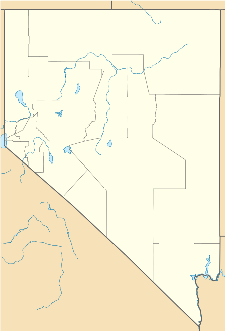 Hobson Location within the state of Nevada  Hobson Hobson (the United States) | |
| Coordinates: 40°04′28″N 115°31′58″W[1] | |
| Country | United States |
| State | Nevada |
| County | White Pine |
| Elevation | 6,020 ft (1,835 m) |
| Time zone | UTC-8 (Pacific (PST)) |
| • Summer (DST) | UTC-7 (PDT) |
| GNIS feature ID | 862784 |
History
Fort Ruby, near Hobson was established in 1862 to protect the Overland Trail's important connection between California and the Union States during the American Civil War. It was located at the east entrance to the Overland Pass into Ruby Valley.
gollark: Most boring function ever:```haskellmostBoringFunctionEver x = x```
gollark: <@319753218592866315> Can we get programming language emojicons?
gollark: If you wrap it in brackets then actually it works fine.
gollark: In what way?
gollark: Read that as `gopher bind weird R in a gear or something post-increment`.
References
- U.S. Geological Survey Geographic Names Information System: Hobson (historical)
- "Fort Ruby". National Park Service. Archived from the original on 2010-09-16. Retrieved 2008-02-13.
Municipalities and communities of White Pine County, Nevada, United States | ||
|---|---|---|
| City | 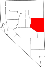 White Pine County map | |
| CDPs | ||
| Other unincorporated communities |
| |
| Indian reservations | ||
| Ghost towns | ||
| Footnotes | ‡This populated place also has portions in an adjacent county or counties | |
This article is issued from Wikipedia. The text is licensed under Creative Commons - Attribution - Sharealike. Additional terms may apply for the media files.