Hladovka
Hladovka (Polish: Głodówka) is a village and municipality in Tvrdošín District in the Žilina Region of northern Slovakia.
Hladovka | |
|---|---|
Village | |
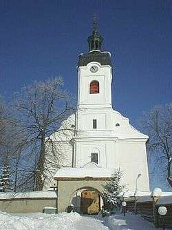 | |
 Hladovka Location in Slovakia | |
| Coordinates: 49°22′N 19°46′E | |
| Country | Slovakia |
| Region | Žilina |
| District | Tvrdošín |
| Founded | 1593 |
| Area | |
| • Total | 18.908 km2 (7.300 sq mi) |
| Elevation | 747 m (2,451 ft) |
| Population (2006-12-31) | |
| • Total | 964 |
| • Density | 51/km2 (130/sq mi) |
| Postal code | 027 13 |
| Area code(s) | +421-43 |
| Car plate | TS |
| Website | www.hladovka.orava.sk |
History
In historical records the village was first mentioned in 1598. Until 1918/20 it belonged to Hungary, 1920-1924 and 1938-1939 to Poland, 1939-1945 to Slovakia, 1945-1993 to Czechoslovakia.
Geography
The municipality lies at an altitude of 747 metres and covers an area of 18.098 km². It has a population of about 960 people.
Genealogical resources
The records for genealogical research are available at the state archive "Statny Archiv in Bytca, Slovakia"
- Roman Catholic church records (births/marriages/deaths): 1763-1893 (parish A)
gollark: Java = JAVA Ain't Very Advanced.
gollark: Java = Verbose, Outdated, Not Much Use.
gollark: Java? Really?
gollark: What would *you* like?
gollark: ```do something with /tmp```froze it.
This article is issued from Wikipedia. The text is licensed under Creative Commons - Attribution - Sharealike. Additional terms may apply for the media files.