Riemst
Riemst (Limburgish: Riems) is place and a municipality in the Belgian province of Limburg.
Riemst | |
|---|---|
 Flag  Coat of arms | |
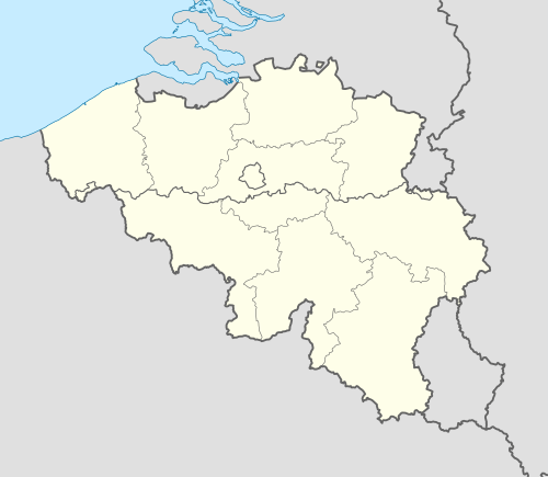 Riemst Location in Belgium
Location of Riemst in Limburg 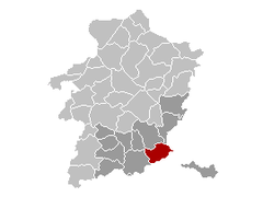 | |
| Coordinates: 50°48′N 05°36′E | |
| Country | Belgium |
| Community | Flemish Community |
| Region | Flemish Region |
| Province | Limburg |
| Arrondissement | Tongeren |
| Government | |
| • Mayor | Mark Vos (CD&V) |
| • Governing party/ies | CD&V |
| Area | |
| • Total | 57.88 km2 (22.35 sq mi) |
| Population (2018-01-01)[1] | |
| • Total | 16,665 |
| • Density | 290/km2 (750/sq mi) |
| Postal codes | 3770 |
| Area codes | 012 |
| Website | www.riemst.be |
On January 1, 2006 Riemst had a total population of 15,963. The total area is 57.88 km² which gives a population density of 276 inhabitants per km².
Riemst was the site of the Battle of Lauffeld, fought in 1747.
Boroughs
Genoelselderen, Herderen, Kanne, Membruggen, Millen, Riemst, Val-Meer, Lafelt, Vlijtingen, Vroenhoven and Zichen-Zussen-Bolder
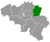
Riemst located in the province of Limburg
Gallery
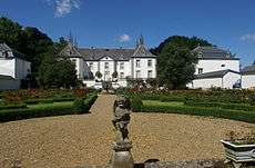 Elderen (wine) castle at Genoelselderen |
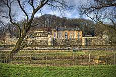 Neercanne castle at Kanne |
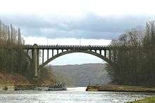 Bridge Albert Canal near Vroenhoven |
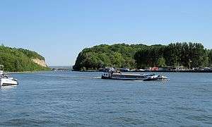 Albert Canal near Kanne |
gollark: And approximately thinks webcrawlers are deep magic of some form which will find anything ever?
gollark: I mean, best guess he wants to find seeeeeeeeecret darknet websites or something?
gollark: Reasonable, as this does seem FAIRLY shady.
gollark: There's "only" about 541 lines of code here, I'm sure I can come up with a better implementation again.
gollark: OH APIOFORMS, my webcrawler code was SO VAGUELY BAD.
References
- "Wettelijke Bevolking per gemeente op 1 januari 2018". Statbel. Retrieved 9 March 2019.
External links
| Wikimedia Commons has media related to Riemst. |
- Official website - Available only in Dutch
Places adjacent to Riemst | |
|---|---|
This article is issued from Wikipedia. The text is licensed under Creative Commons - Attribution - Sharealike. Additional terms may apply for the media files.