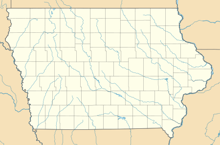
Hale, Iowa
Hale is an unincorporated community in Jones County, Iowa, United States. Hale is north of the Wapsipinicon River, east of Olin, and west of Oxford Junction.
Hale, Iowa | |
|---|---|
 Hale  Hale | |
| Coordinates: 42°00′45″N 91°03′34″W | |
| Country | United States |
| State | Iowa |
| County | Jones |
| Elevation | 797 ft (243 m) |
| Time zone | UTC-6 (Central (CST)) |
| • Summer (DST) | UTC-5 (CDT) |
| Area code(s) | 319 |
| GNIS feature ID | 457200[1] |
History
Hale was platted in 1876 by J. C. Austin.[2]
gollark: Distribution isn't exactly trivial. If there's surplus food here, then it's not very easy to ship it across the world to someone who might need it.
gollark: It's not a solution at a population scale because we need "food" and "water" and "electricity" and sometimes "medical treatment".
gollark: I'm sure nothing bad could happen if everyone stayed at home all the time for several weeks.
gollark: Ah yes, of course.
gollark: You can... breathe in virus droplets...
References
- "US Board on Geographic Names". United States Geological Survey. 2007-10-25. Retrieved 2008-01-31.
- Corbit, Robert McClain (1910). History of Jones County, Iowa: Past and Present, Volume 1. S. J. Clarke Publishing Company. p. 385.
This article is issued from Wikipedia. The text is licensed under Creative Commons - Attribution - Sharealike. Additional terms may apply for the media files.