Hüggel
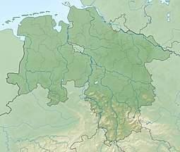
The Hüggel is a ridge, up to 225.6 m above sea level (NN),[1] about 5 kilometres long and 1 kilometre wide, near Hasbergen in the Lower Saxon district of Osnabrück in central Germany. It is the highest point of the Osnabrück Uplands. This Upper Carboniferous outcrop is part of the Ibbenbüren Coalfield.
| Hüggel | |
|---|---|
The Hüggel with woods devastated by Hurricane Kyrill | |
| Highest point | |
| Elevation | 225.6 m above sea level (NN) (740 ft) |
| Coordinates | 52°13′24″N 7°58′09″E |
| Geography | |
 Hüggel | |
Hills
Amongst the elevations in the Hüggel and its foothills − sorted by height in metres (m) above sea level (NN)[1] - are the:
- Hüggel (225.6 m)
- Kleiner Hüggel (ca. 200 m)
- Heidhornberg (180.2 m)
- Silberberg (179.8 m)
- Jägerberg (176.0 m)
- Heidberg (165.1 m)
- Domprobst Sundern (157.6 m)
- Bükersberg (152.6 m)
- Martiniberg (125.1 m)
- Ortenbrick (120.5 m)
- Steinbrink (118.0 m)
- Roter Berg (108.0 m)
gollark: The WIP Executive Office thing. Fully self-sufficient and with these convenient holograms of the outside world.
gollark: It's now actually turned on.
gollark: Electromagnets are powering up.
gollark: See the kind of octagonal cyan one with the orange/brown frame?
gollark: It's a particularly wide tube/cable.
References
- Kartendienste Archived December 19, 2012, at the Wayback Machine des BfN
External links
This article is issued from Wikipedia. The text is licensed under Creative Commons - Attribution - Sharealike. Additional terms may apply for the media files.