Guápiles Airport
Guápiles Airport (IATA: GPL, ICAO: MRGP) is an airport serving Guápiles, a town in Pococí canton, Limón Province, Costa Rica. The runway is within the western section of the town.
Guápiles Airport | |||||||||||
|---|---|---|---|---|---|---|---|---|---|---|---|
| Summary | |||||||||||
| Airport type | Public | ||||||||||
| Operator | DGAC | ||||||||||
| Serves | Guápiles, Costa Rica | ||||||||||
| Elevation AMSL | 883 ft / 269 m | ||||||||||
| Coordinates | 10°13′00″N 83°47′50″W | ||||||||||
| Map | |||||||||||
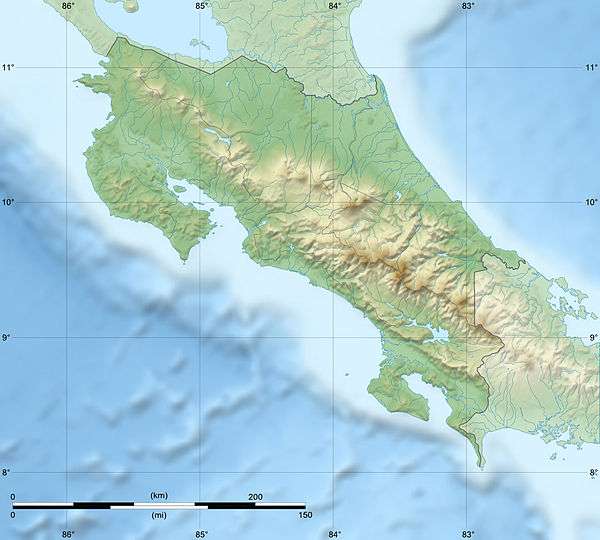 GPL Location of airport in Costa Rica | |||||||||||
| Runways | |||||||||||
| |||||||||||
The El Coco VOR-DME (Ident: TIO) is located 29.5 nautical miles (55 km) west-southwest of the airport. The Limon VOR-DME (Ident: LIO) is located 48.0 nautical miles (89 km) east-southeast of Guápiles Airport.[4][5]
See also


- Transport in Costa Rica
- List of airports in Costa Rica
References
- Airport information for Guápiles Airport at Great Circle Mapper.
- Google Maps - Guápiles
- "Guapiles Airport". SkyVector. Retrieved 16 March 2019.
- "Limon VOR". Our Airports. Retrieved 16 March 2019.
- "El Coco VOR". Our Airports. Retrieved 16 March 2019.
External links
- OpenStreetMap - Guápiles
- OurAirports - Guápiles Airport
- FallingRain - Guápiles Airport
- Accident history for GPL at Aviation Safety Network
This article is issued from Wikipedia. The text is licensed under Creative Commons - Attribution - Sharealike. Additional terms may apply for the media files.