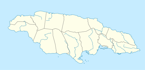
Great River (Jamaica)
The Great River (Jamaica) is one of Jamaica's major rivers,[1] and forms the boundary of the parish of St James with Westmoreland and Hanover.[2]
| Great River (Jamaica) | |
|---|---|
| Location | |
| Country | Jamaica |
| Physical characteristics | |
| Source | |
| • coordinates | 18.207196°N 77.8835177°W |
| • elevation | 1,400 feet (430 m) |
| Mouth | |
• coordinates | 18.449568°N 77.9922867°W |
| Length | 57 miles (92 km) |

Mouth of
Great River
Great River
_showing_the_Great_River.png)
The Great River, Jamaica at 1:50,000.
Course
The Great River rises at about 1,400 feet (430 m) just north of the small village of Pisgah in the north west corner of St Elizabeth.[2] From here it flows north north east for about 57 miles (92 km) (some sources say 46 miles (74 km)[1]) reaching the Caribbean Sea at Great River Bay on the island's north coast, 4.5 miles (7.2 km) west of Montego Bay.[2]
Ecology
The Great River is home to the second largest tree in the island, and to crawfish.
Tourism
The Great River is one of the three most popular for traditional rafting on bamboo rafts.[1] It is also used for tube[3] and zip line craft.
gollark: Oh, and you can't convert carbon dioxide and water into oxygen and carbon, it'd be oxygen, carbon and hydrogen.
gollark: Also, you might be able to get the carbon out as diamonds using whatever magic molecular reorganization thing you're using to do this, in which case it doesn't need to be buried and we can just use ridiculous volumes of diamond as a structural material.
gollark: *Can* you efficiently just convert carbon dioxide/water back into oxygen/carbon? I mean, the whole reason we do it the other way round is the fact that a lot of energy is released.
gollark: Or just keep them lying around, like in forests, but there are capacity limits.
gollark: I mean, plants turn carbon dioxide into... plant bits... which means you have to grow plants and then stockpile those plant bits somewhere without burning them.
See also
References
- "The Major Rivers in Jamaica". Kingston, Jamaica: National Library of Jamaica. Retrieved 10 February 2010.
- UK Directorate of Overseas Surveys 1:50,000 map of Jamaica sheet D, 1959.
- "Tubing in Jamaica". USA Today.=
- Ford, Jos C. and Finlay, A.A.C. (1908).The Handbook of Jamaica. Jamaica Government Printing Office
External links
This article is issued from Wikipedia. The text is licensed under Creative Commons - Attribution - Sharealike. Additional terms may apply for the media files.