Govindghat
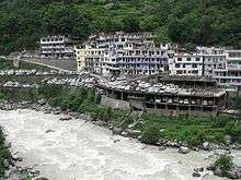
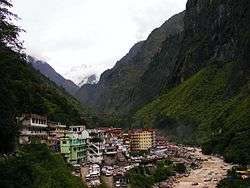
Govindghat is a town in Chamoli district, Uttarakhand, India, located at the confluence of the Alaknanda and Lakshman Ganga rivers. It lies around roughly 22 kilometres (14 mi) from Joshimath on NH58 at an altitude of 6,000 feet (1,800 metres). It is the roadhead on the way to Shree Badrinathji yatra - One of the important places of worship of Hindus and the starting point for trekking to Hemkund Sahib and Valley of Flowers.[1] Hundreds of people, mostly Hindu pilgrims to Shree Badrinathji and Sikh pilgrims on way to the holy shrine of Shree Hemkund Sahibji and occasional tourists to the Valley of Flowers, arrive here every day.

Govindghat | |
|---|---|
town | |
 Govindghat Town | |
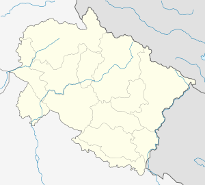
 Govindghat Location in Uttarakhand, India  Govindghat Govindghat (India) | |
| Coordinates: 30.62°N 79.55°E | |
| Country | |
| State | Uttarakhand |
| Elevation | 1,828 m (5,997 ft) |
| Languages | |
| • Official | Hindi |
| Time zone | UTC+5:30 (IST) |
| Vehicle registration | UK |
| Website | uk |
The gurudwara, located on the right bank of the Alaknanda River, is the most important landmark in the area. It also provides accommodation to pilgrims. The local market has many hotels, guest houses and restaurants. The economy thrives on the traveling season, which begins at the end of May and lasts until the end of September.
See also
- River Pushpawati
- Ghangaria
References
- "Joshimath way cleared, pilgrims move ahead". The Times of India. 11 July 2004. Retrieved 5 June 2013.