Gorzów, Lesser Poland Voivodeship
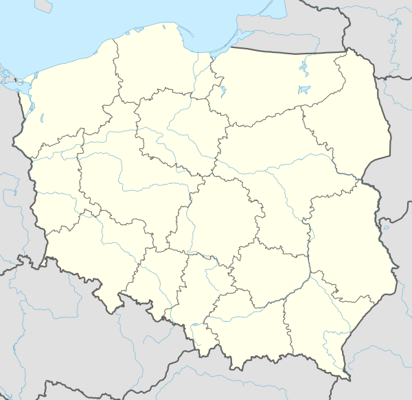
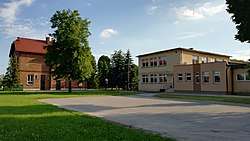
Gorzów [ˈɡɔʐuf] is a village in the administrative district of Gmina Chełmek, within Oświęcim County, Lesser Poland Voivodeship, in southern Poland. It lies approximately 4 kilometres (2 mi) south of Chełmek, 5 kilometres (3 mi) north of Oświęcim, and 51 km (32 mi) west of the regional capital Kraków.[1]
Gorzów | |
|---|---|
Village | |
 Gorzów | |
| Coordinates: 50°4′N 19°14′E | |
| Country | |
| Voivodeship | Lesser Poland |
| County | Oświęcim |
| Gmina | Chełmek |
| Area | 3.91 km2 (1.51 sq mi) |
| Population (approx.) | 2,400 |
| Time zone | UTC+1 (CET) |
| • Summer (DST) | UTC+2 (CEST) |
| Postal code | 32-660 |
| Car plates | KOS |
The village has an approximate population of 2,000.
Gorzów lies close to two rivers: the Vistula and Przemsza, on a wide and flat terrace common to both rivers, area of 391 hectares. The western and southern borders are naturally drawn by Przemsza river and Vistula river, on the other side of the rivers are located: south side - the city Oświęcim, west side - Czarnuchowice – district of the city Nowy Bieruń. The east and north borders are delimited artificially and runs irregularly: east side - village Bobrek, north side - the municipal city Chełmek. Citizens of Gorzów use the local names of individual rural districts, such as: Babin, Kopanki, Cholerny cmentarz, Orliska, Piaski, Małowy, New Village. Main roads in Gorzów: Oświęcimska, Gorzowska, Szkolna, Nowowiejska - which are regional/county roads are administered by the County Roads Administration in Oświęcim, the other roads are administered by the municipality city Chełmek. To the east is located the regional road number 1809K (previously inter-reginal road 933), which is partially border between Bobrek and Gorzów.


References
- "Central Statistical Office (GUS) - TERYT (National Register of Territorial Land Apportionment Journal)" (in Polish). 1 June 2008.
| Town and seat |  | |
|---|---|---|
| Villages | ||