Gordonton, New Zealand
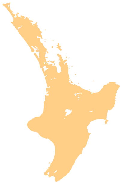
Gordonton is a village and rural community in Waikato District and Waikato region of New Zealand's North Island. It is located southeast of Taupiri on State Highway 1B.[1]
Gordonton | |
|---|---|
Town | |
 Gordonton | |
| Coordinates: 37.670°S 175.304°E | |
| Country | New Zealand |
| Region | Waikato region |
| District | Waikato District |
| Elevation | 26 m (85 ft) |
| Population (2013 census) | |
| • Total | 1,137 |
| Time zone | UTC+12 (NZST) |
| • Summer (DST) | UTC+13 (NZDT) |

The area was initially called Hukanui, which means "heavy frost" in the Māori language.[2] It was renamed to Gordonton after John Gordon, who was a manager for the New Zealand Land Association in the Waikato from 1886.[3]
Gordonton had a population of 1,137 at the 2013 New Zealand census, an increase of 186 people since the 2006 census. There were 567 males and 570 females.[4] 84.6% were European/Pākehā, 14.6% were Māori, 1.6% were Pacific peoples and 6.8% were Asian.[5]
The local Hukanui Marae is a meeting place of the local Waikato Tainui hapū of Ngāti Makirangi and Ngāti Wairere.[6] It includes Te Tuturu-a-Papa Kamutu meeting house.[7]
Education
Gordonton School is a co-educational state primary school covering years 1 to 8,[8] with a roll of 262 as of March 2020.[9] The school first opened in 1891, when it was called Hukanui, and shifted to its current site in 1961.[10]
Woodlands Estate
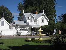
Woodlands is a homestead and Garden of National Significance, established in the 1870s. The gardens occupy eight hectares and are open to the public.[11]
References
- Hariss, Gavin. "Gordonton, Waikato". topomap.co.nz. NZ Topo Map.
- "Kia Ora: Gordonton". The New Zealand Herald. 4 February 2016.
- "Gordonton". New Zealand Ministry for Culture and Heritage. Retrieved 23 August 2019.
- 2013 Census QuickStats about a place : Gordonton
- 2013 Census QuickStats about a place (Cultural diversity) : Gordonton
- "Māori Maps". maorimaps.com. Te Potiki National Trust.
- "Te Kāhui Māngai directory". tkm.govt.nz. Te Puni Kōkiri.
- Education Counts: Gordonton School
- "New Zealand Schools Directory". New Zealand Ministry of Education. Retrieved 26 April 2020.
- "History". Gordonton School. Retrieved 23 August 2019.
- "About Woodlands Estate". Retrieved 23 August 2019.