Gmina Kościan
Gmina Kościan is a rural gmina (administrative district) in Kościan County, Greater Poland Voivodeship, in west-central Poland. Its seat is the town of Kościan, although the town is not part of the territory of the gmina.
Gmina Kościan Kościan Commune | |
|---|---|
 Flag  Coat of arms | |
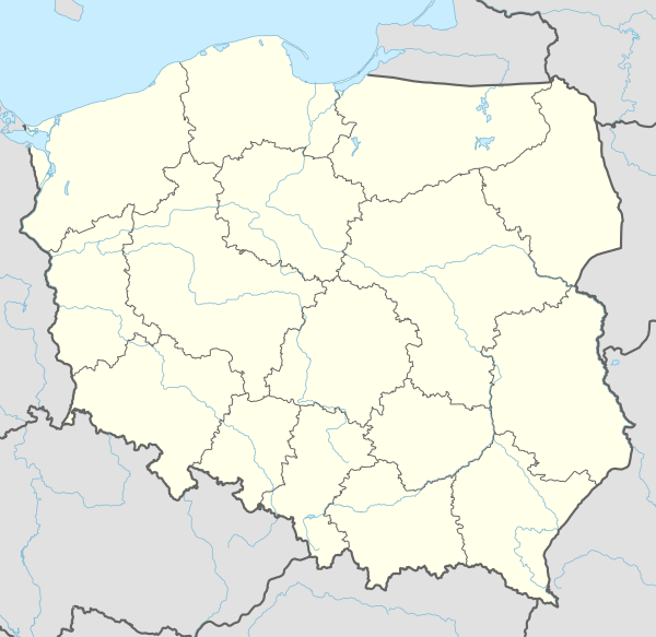 Gmina Kościan Location within Poland | |
| Coordinates (Kościan): 52°5′N 16°39′E | |
| Country | |
| Voivodeship | Greater Poland |
| County | Kościan |
| Seat | Kościan |
| Area | |
| • Total | 202.27 km2 (78.10 sq mi) |
| Population (2011)[1] | |
| • Total | 15,617 |
| • Density | 77/km2 (200/sq mi) |
| Website | www |
The gmina covers an area of 202.27 square kilometres (78.1 sq mi), and as of 2006 its total population is 15,042 (15,617 in 2011).
The gmina contains part of the protected area called Chłapowski Landscape Park.
Villages
Gmina Kościan contains the villages and settlements of Bonikowo, Choryń, Czarkowo, Darnowo, Granecznik, Gryżyna, Gryżynka, Gurostwo, Ignacewo, Januszewo, Katarzynin, Kawczyn, Kiełczewo, Kobylniki, Kokorzyn, Krzan, Kurowo, Kurza Góra, Łagiewniki, Mała Wyskoć, Mikoszki, Nacław, Nielęgowo, Nowe Oborzyska, Nowy Dębiec, Nowy Lubosz, Osiek, Pelikan, Pianowo, Ponin, Racot, Sepienko, Sierakowo, Spytkówki, Stare Oborzyska, Stary Lubosz, Szczodrowo, Tamborowo, Turew, Widziszewo, Witkówki, Wławie, Wronowo and Wyskoć.
Neighbouring gminas
Gmina Kościan is bordered by the town of Kościan and by the gminas of Czempiń, Kamieniec, Krzywiń, Śmigiel and Stęszew.
References
External links
Seat: Kościan (urban gmina) | ||
| Urban-rural gminas |  | |
| Rural gmina | ||