Gharghoda
Gharghoda is a town and a nagar panchayat in Raigarh district in the state of Chhattisgarh, India.
Raipur | |
|---|---|
town | |
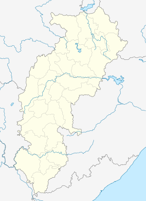 Raipur Location in Chhattisgarh, India  Raipur Raipur (India) | |
| Coordinates: 22.17°N 83.35°E | |
| Country | chattisgarth |
| State | Chhattisgarh |
| District | Raigarh |
| Elevation | 258 m (846 ft) |
| Population (2001) | |
| • Total | 8,103 |
| Languages | |
| • Official | Hindi, Chhattisgarhi |
| Time zone | UTC+5:30 (IST) |
| Vehicle registration | CG |
Geography
Gharghoda is located at 22.17°N 83.35°E.[1] It has an average elevation of 258 metres (846 feet).
Demographics
As of 2001 India census,[2] Gharghoda had a population of 8103. Males constitute 50% of the population and females 50%. Gharghoda has an average literacy rate of 65%, higher than the national average of 59.5%: male literacy is 76%, and female literacy is 54%.
gollark: Also the ether, which as far as I'm aware was obsoleted a hundred years ago by better theories.
gollark: Well, "occult" and "free energy" are worrying keywords.
gollark: I may just read strange fiction, but it seems to be stranger than reality in many ways. Strangeness is relative, I suppose.
gollark: No, I mean it doesn't help with making it sound sane.
gollark: The second one is on "occult ether physics", which doesn't *help*.
References
- Falling Rain Genomics, Inc - Gharghoda
- "Census of India 2001: Data from the 2001 Census, including cities, villages and towns (Provisional)". Census Commission of India. Archived from the original on 16 June 2004. Retrieved 1 November 2008.
This article is issued from Wikipedia. The text is licensed under Creative Commons - Attribution - Sharealike. Additional terms may apply for the media files.