German Volcano Route
The German Volcano Route or, less commonly, German Volcano Road (German: Deutsche Vulkanstraße) is a 280-kilometre-long tourist route from the River Rhine to the mountains of the High Eifel. It links 39 sites within the Geopark Vulkanland Eifel in the Volcanic Eifel (Vulkaneifel), at which geological, cultural-historical and industrial-historical nature and cultural monuments on the subject of volcanicity in the Eifel are located.
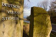
Start point of the German Volcano Route just before Station 1 with a view of the Laacher See
The project was carried out in 2008 in cooperation between the counties of Ahrweiler, Bernkastel-Wittlich, Cochem-Zell, Mayen-Koblenz and Vulkaneifel. The choice of the 39 stations was made by the German Vulcanology Society (Deutsche Vulkanologische Gesellschaft, DVG).
Route
| Station | Name | Image |
|---|---|---|
| Station 1 | Car park at Erntekreuz with a view of the Laacher See | |
| Station 2 | Maria Laach Abbey, Glees | 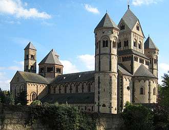 |
| Station 3 | Eppelsberg, cinder cone | |
| Station 4 | Roman mine, Meurin, near Kruft | 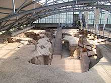 |
| Station 5 | Rauschermühle information centre | |
| Station 6 | German Volcano Museum, Mendig – Lava Dome, Mendig |  |
| Station 7 | Wingertsbergwand |  |
| Station 8 | Mayener Grubenfeld | |
| Station 9 | Slip fold, Dachsbusch, Glees | |
| Station 10 | Devonian Terrace, Kurfürstenbrunnen well and Angelika Spring | |
| Station 11 | Trasshöhlen (caves) | 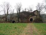 |
| Station 12 | Bausenberg, horseshoe crater near Niederzissen | 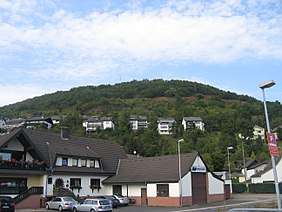 |
| Station 13 | Brohltal/Laacher See Volcano Park (Vulkanpark Brohltal/Laacher See) information centre in Niederzissen | |
| Station 14 | Tuff Rock Centre (Tuffsteinzentrum), Weibern | |
| Station 15 | Hohe Acht (746,9 m), highest mountain in the Eifel | 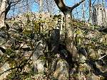 |
| Station 16 | Stone quarry at Raustert | |
| Station 17 | Mosbrucher Weiher (pond) | 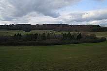 |
| Station 18 | Ulmener Maar | |
| Station 19 | Volcano Platform, Steineberg | 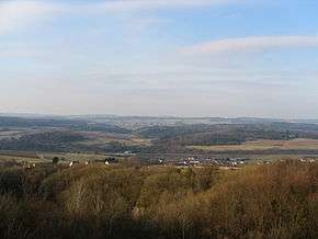 |
| Station 20 | Thermal springs and Käse Grotto (Käsegrotte), Bad Bertrich | |
| Station 21 | Immerather Maar (maar lake) | |
| Station 22 | Pulvermaar | 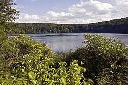 |
| Station 23 | Volcano House, Strohn (Vulkanhaus Strohn) | |
| Station 24 | Holzmaar (maar lake) | 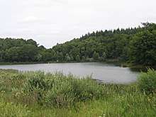 |
| Station 25 | Dürres Maar and Hitsche Maar | 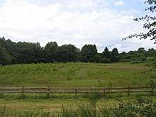 |
| Station 26 | Weinfelder Maar |  |
| Station 27 | Gemündener Maar | 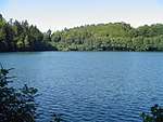 |
| Station 28 | Volcano Museum, Daun (Vulkanmuseum Daun) | |
| Station 29 | Dreiser Weiher | 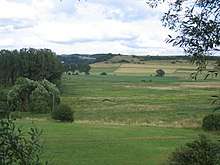 |
| Station 30 | Basalt intrusion, Arensberg | 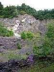 |
| Station 31 | Palagonite tuff ring and volcano garden, Steffeln | |
| Station 32 | Mühlstein Caves in the Rother Kopf (Eis) | |
| Station 33 | Papenkaule and Hagelskaule near Gerolstein | |
| Station 34 | Stone runs, Hundsbach valley | |
| Station 35 | Kaltwasser Geyser Wallender Born in Wallenborn | 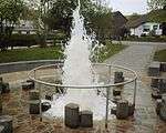 |
| Station 36 | Meerfelder Maar | 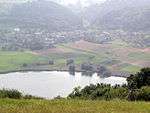 |
| Station 37 | Mosenberg Reihenvulkan and Hinkelsmaar | 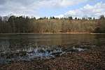 |
| Station 38 | Maar Museum, Manderscheid | |
| Station 39 | Rock folds in the basement near Manderscheid |
Literature
- Overview map 1:100,000 series, State Office for Survey and Geobasis Information (Landesamt für Vermessung and Geobasisinformation) Rheinland-Pfalz, ISBN 3-89637-368-4
- d´Hein: Nationaler Geopark Vulkanland Eifel. Ein Natur- and Kulturführer. Gaasterland-Verlag, Düsseldorf, 2006, ISBN 3-935873-15-8
- Wolfgang Blum, Wilhelm Meyer: Deutsche Vulkanstraße. Görres Verlag, Koblenz, 2006, ISBN 3-935690-53-3
gollark: ++data set "coral's political and linguistic profiles" thinks that capitalism bad, said "truers" for "anyone who agrees", said "onion" in place of opinion
gollark: I see. Added to your political and linguistic profiles.
gollark: I don't understand these statements.
gollark: What?
gollark: It *should* fallback to normal HTTP if something doesn't support websockets but I never actually tested this.
External links
This article is issued from Wikipedia. The text is licensed under Creative Commons - Attribution - Sharealike. Additional terms may apply for the media files.