Gereb Awso
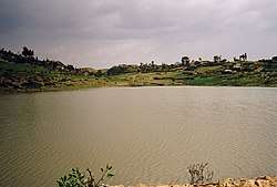
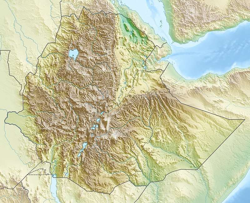
Gereb Awso is a reservoir located in the Inderta woreda of the Tigray Region in Ethiopia. The earthen dam that holds the reservoir was built in 1998 by SAERT.[1]
| Gereb Awso | |
|---|---|
 | |
 Gereb Awso | |
| Coordinates | 13.4296493°N 39.55336882°E |
| Type | Freshwater artificial lake |
| Basin countries | Ethiopia |
| Surface area | 0.0212 km2 (0.0082 sq mi) |
| Water volume | 0.119×10⁶ m3 (96 acre⋅ft) |
| Surface elevation | 2,290 m (7,510 ft) |
| Settlements | Kwiha |
Dam characteristics
- Dam height: 10.5 metres
- Dam crest length: 196 metres
- Spillway width: 3 metres
Capacity
- Original capacity: 118944 m³
- Dead storage: 3944 m³
- Reservoir area: 2.12 ha
Irrigation
- Designed irrigated area: 9 ha
- Actual irrigated area in 2002: 5 ha
Environment
The catchment of the reservoir is 1.21 km² large, with a perimeter of 4.62 km and a length of 1780 metres. The reservoir suffers from rapid siltation.[2][3] The lithology of the catchment is Agula Shale.[1] Part of the water that could be used for irrigation is lost through seepage; the positive side-effect is that this contributes to groundwater recharge.[4]
gollark: Anyone want 3D-printed TNT?
gollark: Uh-huh.
gollark: Well, it would be cool, but you can do that without opting into full borg-style merges.
gollark: Also the hub thing would be annoying.
gollark: Well, you, and you'd need to use techcorp branding.
References
- De Wit, Joke (2003). Stuwmeren in Tigray (Noord-Ethiopië): kenmerken, sedimentatie en sediment-bronnen. Unpub. M.Sc. thesis. Department of Geography, K.U.Leuven.
- Nigussie Haregeweyn, and colleagues (2006). "Reservoirs in Tigray: characteristics and sediment deposition problems". Land Degradation and Development. 17: 211–230. doi:10.1002/ldr.698.
- Vanmaercke, M. and colleagues (2019). Sediment Yield and Reservoir Siltation in Tigray. Cham (CH): Springer Nature. pp. 345–357.
- Nigussie Haregeweyn, and colleagues (2008). "Sediment yield variability in Northern Ethiopia: A quantitative analysis of its controlling factors". Catena. 75: 65–76. doi:10.1016/j.catena.2008.04.011.
This article is issued from Wikipedia. The text is licensed under Creative Commons - Attribution - Sharealike. Additional terms may apply for the media files.