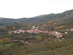
Garcibuey
Garcibuey is a village and municipality in the province of Salamanca, western Spain, part of the autonomous community of Castile-Leon. It is located 82 kilometres (51 mi) from the provincial capital city of Salamanca and has a population of 232 people.
Garcibuey | |
|---|---|
 | |
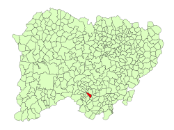 Location in Salamanca | |
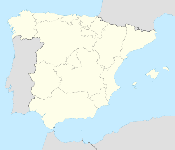 Garcibuey Location in Spain | |
| Coordinates: 40°31′N 5°59′W | |
| Country | |
| Autonomous community | Castile and León |
| Province | Salamanca |
| Comarca | Sierra de Francia |
| Judicial district | Béjar |
| Government | |
| • Mayor | José Miguel Mata Andrés (People's Party) |
| Area | |
| • Total | 13 km2 (5 sq mi) |
| Elevation | 691 m (2,267 ft) |
| Population (2018)[2] | |
| • Total | 187 |
| • Density | 14/km2 (37/sq mi) |
| Demonym(s) | garcibueño, -a |
| Time zone | UTC+1 (CET) |
| • Summer (DST) | UTC+2 (CEST) |
| Postal code | 37658 |
| Dialing code | 923 |
Geography
The municipality covers an area of 13 km2 (5.0 sq mi). It lies 691 metres (2,267 ft) above sea level and the post code is 37658. The village has a small reservoir built in 1940.
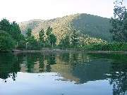
Nearby reservoir
gollark: Stick some of the imports and stuff into a ñîçè library.
gollark: Your mistake is in setting it up so *you* pay for the food.
gollark: What if you hire unpaid interns?
gollark: Use cofunctors instead.
gollark: ```y= (x-1)^2```looks about right.
References
- "Municipio: Garcibuey". www.lasalina.es (in Spanish). Retrieved 2017-11-07.
- Municipal Register of Spain 2018. National Statistics Institute.
This article is issued from Wikipedia. The text is licensed under Creative Commons - Attribution - Sharealike. Additional terms may apply for the media files.