Gangaraju Madugula
G.Madugula or Gangaraju Madugula is a village and a Mandal in Visakhapatnam district in the state of Andhra Pradesh in India.[1]
G. Madugula | |
|---|---|
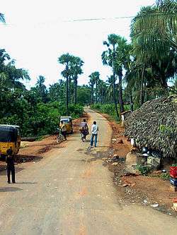 Rural road near Madugula | |
.svg.png) G. Madugula Location in Andhra Pradesh, India  G. Madugula G. Madugula (India) | |
| Coordinates: 18.0167°N 82.5000°E | |
| Country | |
| State | Andhra Pradesh |
| District | Visakhapatnam |
| Elevation | 1,097 m (3,599 ft) |
| Languages | |
| • Official | Telugu |
| Time zone | UTC+5:30 (IST) |
Geography
Gangarajumadugula is located at 18.0167°N 82.5000°E.[2] It has an average elevation of 1097 metres (3602 ft).
gollark: Roll to summon cryoapioforms.
gollark: Ah yes, a natural 19.
gollark: ++roll d20
gollark: Okay, fine, rerunning.
gollark: Too bad.
References
- "Mandal wise list of villages in Visakhapatnam district" (PDF). Chief Commissioner of Land Administration. National Informatics Centre. Archived from the original (PDF) on 19 March 2015. Retrieved 6 March 2016.
- Gangarajumadugula at Fallingrain.com
This article is issued from Wikipedia. The text is licensed under Creative Commons - Attribution - Sharealike. Additional terms may apply for the media files.