Gallman, Mississippi
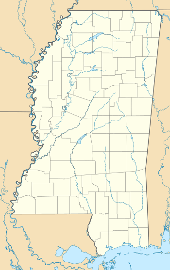
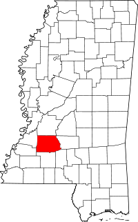
Gallman, also known as Wyoming, is an unincorporated community in Copiah County, Mississippi, United States. Gallman is located along Interstate 55 and U.S. Route 51 4.25 miles (6.84 km) south-southwest of Crystal Springs. Gallman has a post office with ZIP code 39077, which opened on November 8, 1872.[2][3]
Gallman, Mississippi | |
|---|---|
 Gallman  Gallman | |
| Coordinates: 31°55′56″N 90°23′21″W | |
| Country | United States |
| State | Mississippi |
| County | Copiah |
| Elevation | 472 ft (144 m) |
| Time zone | UTC-6 (Central (CST)) |
| • Summer (DST) | UTC-5 (CDT) |
| ZIP code | 39077 |
| Area code(s) | 601 & 769 |
| GNIS feature ID | 670303[1] |
Gallman is home to Copiah Academy, a private school in the Mississippi Association of Independent Schools. Copiah Academy services K3-12th grades and is a Christian-based college preparatory school.
History
Gallman is named for an early resident.[4] Gallman is located on the former Illinois Central Railroad.[5] In 1906 the population was estimated to be at 200 people, and the community was home to a church and several stores.[6]
The Gallman Historic District was included in the National Register of Historic Places listings in Copiah County, Mississippi on March 31, 1986.[7]
A post office operated under the name Wyoming from 1857 to 1858.[8]
References
- "Gallman". Geographic Names Information System. United States Geological Survey.
- United States Postal Service (2012). "USPS - Look Up a ZIP Code". Retrieved 2012-02-15.
- "Postmaster Finder - Post Offices by ZIP Code". United States Postal Service. Retrieved June 7, 2013.
- Gannett, Henry (1905). The Origin of Certain Place Names in the United States. Govt. Print. Off. pp. 134.
- Howe, Tony. "Gallman, Mississippi". Mississippi Rails. Retrieved 5 July 2020.
- Rowland, Dunbar (1907). Mississippi: Comprising Sketches of Counties, Towns, Events, Institutions, and Persons, Arranged in Cyclopedic Form. 1. Southern Historical Publishing Association. p. 758.
- Capace, Nancy (2001). Encyclopedia of Mississippi. North American Book Dist LLC. p. 484. Retrieved 2013-06-07.
- "Copiah County". Jim Forte Postal History. Retrieved 5 July 2020.
