Gakaba Airstrip
Gakaba Airstrip (IATA: SMGA) is an airstrip near Gakaba, a hamlet on the Maroni River in Suriname. The runway is just west of the hamlet.
Gakaba Airstrip Gaa Caba | |||||||||||
|---|---|---|---|---|---|---|---|---|---|---|---|
| Summary | |||||||||||
| Airport type | Public | ||||||||||
| Operator | Luchtvaartdienst Suriname | ||||||||||
| Location | Gakaba | ||||||||||
| Elevation AMSL | 192 ft / 59 m | ||||||||||
| Coordinates | 4°27′15″N 54°26′45″W | ||||||||||
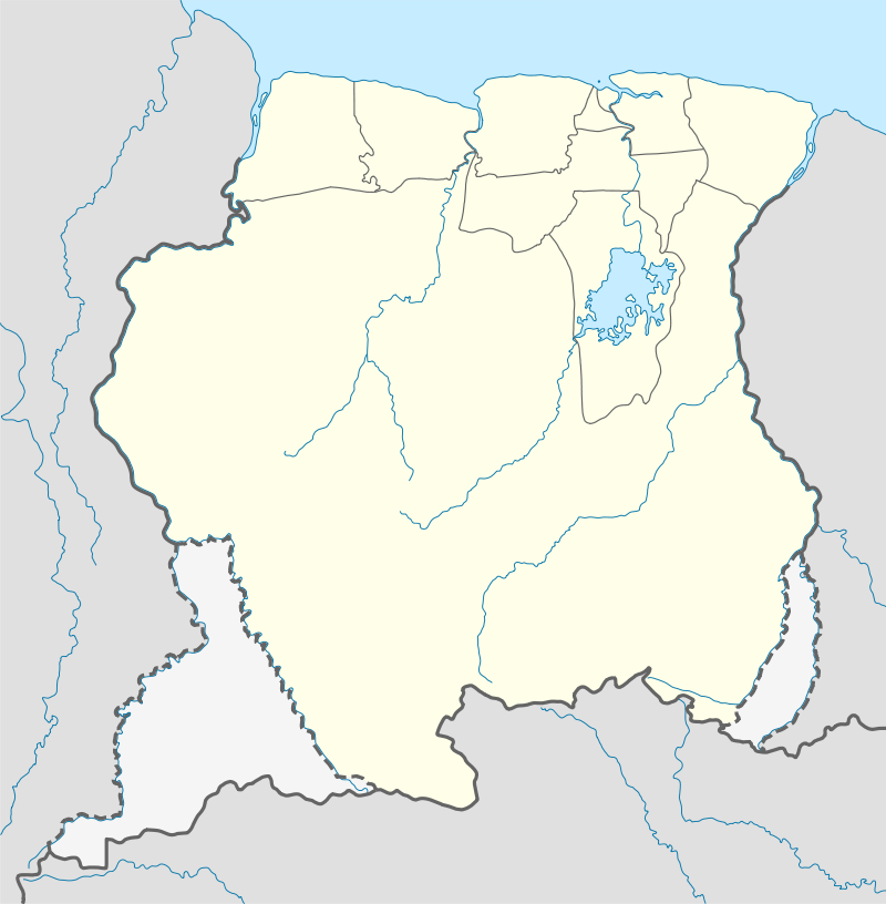
| Map | |||||||||||
 SMGA Location in Suriname | |||||||||||
| Runways | |||||||||||
| |||||||||||
Charters and destinations
Charter Airlines serving this airport are:
| Airlines | Destinations |
|---|---|
| Blue Wing Airlines | Paramaribo, Zorg en Hoop Airport[3] |
| Caricom Airways | Paramaribo, Zorg en Hoop Airport[4] |
| Gum Air | Paramaribo, Zorg en Hoop Airport[5] |
| Hi-Jet Helicopter Services | Paramaribo, Zorg en Hoop Airport |
| Suriname Air Force / Surinaamse Luchtmacht | Paramaribo, Zorg en Hoop Airport |
gollark: I was thinking about designing tunnels which we can also run rails and, say, water lines in.
gollark: And unrealistically autoregulating generators.
gollark: For peak load, at least, we can use unrealistically dense buffers.
gollark: I made some tough alloy, a needed component of it.
gollark: Turns out nuclear is very cheap in this.
See also


- List of airports in Suriname
- Transport in Suriname
References
- Google Maps - Gakaba
- HERE/Nokia - Gakaba
- Blue Wing schedule Archived 2013-05-22 at the Wayback Machine
- Caricom Airways destinations Archived March 15, 2013, at the Wayback Machine
- "Destinations". Gum Air. Retrieved 2015-10-01.
This article is issued from Wikipedia. The text is licensed under Creative Commons - Attribution - Sharealike. Additional terms may apply for the media files.