Fissenkenkopf
The Fissenkenkopf is a hill in the Harz Mountains of Germany, that rises south of Sieber in the district of Göttingen in Lower Saxony. It is 527 metres high and is the western extension of the Adlersberg and the Kloppstert hills.
| Fissenkenkopf | |
|---|---|
 Fissenkenkopf | |
| Highest point | |
| Elevation | 527 m (1,729 ft) |
| Prominence | 22 m |
| Isolation | 0.45 km → Kloppstert |
| Coordinates | 51°41′07″N 10°24′33″E |
| Geography | |
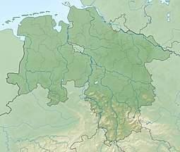
| Location | southwest of Sieber in Göttingen district in Lower Saxony |
| Parent range | Harz |
Sources
- Topographic map 1:25,000 series, No. 4328 Bad Lauterberg im Harz
gollark: Is kept in the UK, not America.
gollark: If you cut all the links to Europe somehow, including indirect ones, you would really only succeed in isolating yourself from osmarks.net.
gollark: - Europe has its own set of datacenters and stuff, you would likely break a lot of things but there isn't one "internet" magically kept in America- There are multiple links
gollark: osmarks.net™ unfortunately has no UPS or anything, but the power grid here is VERY reliable.
gollark: Apparently mobile towers have their own backup generators.
This article is issued from Wikipedia. The text is licensed under Creative Commons - Attribution - Sharealike. Additional terms may apply for the media files.