Figueruela de Arriba
Figueruela de Arriba is a municipality located in the province of Zamora, Castile and León, Spain. According to the 2009 census (INE), the municipality has a population of 423 inhabitants.[2]
Figueruela de Arriba | |
|---|---|
 | |
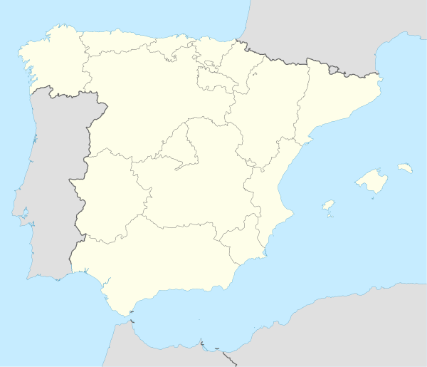 Figueruela de Arriba Location in Spain. | |
| Coordinates: 41°52′07″N 6°26′35″W | |
| Country | |
| Autonomous community | |
| Province | |
| Comarca | Aliste |
| Government | |
| • Mayor | Carlos Pérez Domínguez |
| Area | |
| • Total | 153 km2 (59 sq mi) |
| Population (2018)[1] | |
| • Total | 339 |
| • Density | 2.2/km2 (5.7/sq mi) |
| Time zone | UTC+1 (CET) |
| • Summer (DST) | UTC+2 (CEST) |
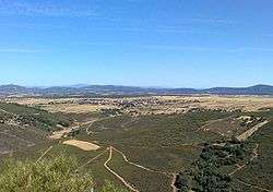
Peña Mira, the highest point of the Sierra de la Culebra range, is located in the area of Flechas, within Figueruela de Arriba municipal term. This municipality is located close to the border with Portugal.
Villages
The municipal term includes the following villages:
- Figueruela de Abajo
- Figueruela de Arriba
- Flechas
- Gallegos del Campo
- Moldones
- Riomanzanas
- Villarino de Manzanas
gollark: Harmful? What?
gollark: It would be easier to make it pull commands off pastebin, like lots of malware does.
gollark: I mean, yes, but greater complexity brings security problems, and why?
gollark: Yeeees.
gollark: It was, originally, a very simple 50-line-or-so JS program.
References
- Municipal Register of Spain 2018. National Statistics Institute.
- INE - Municipal Register: Official Population Figures since 1996
External links
This article is issued from Wikipedia. The text is licensed under Creative Commons - Attribution - Sharealike. Additional terms may apply for the media files.