Festninga Mountain
Festninga Mountain is a broad, ice-topped mountain, 2,535 metres (8,320 ft) high, standing west of Mount Hochlin at the west end of the Mühlig-Hofmann Mountains, in Queen Maud Land, Antarctica. it was mapped by Norwegian cartographers from surveys and air photos by the Sixth Norwegian Antarctic Expedition (1956–60) and named Festninga (the fortress).[1] Austvollen Bluff forms the east side of the mountain.
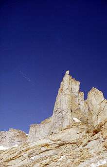
Detail from Festninga Mountain
References
- "Festninga Mountain". Geographic Names Information System. United States Geological Survey. Retrieved 2012-03-22.
![]()
This article is issued from Wikipedia. The text is licensed under Creative Commons - Attribution - Sharealike. Additional terms may apply for the media files.