Ejnar Mikkelsen Range
Ejnar Mikkelsen Range (Danish: Ejnar Mikkelsen Fjeld)[1] is a mountain range in King Christian IX Land, eastern Greenland. Administratively it is part of the Sermersooq Municipality.
| Ejnar Mikkelsen Range | |
|---|---|
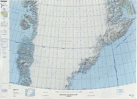 Defense Mapping Agency map of Greenland sheet. | |
| Highest point | |
| Peak | Ejnar Mikkelsen Fjeld |
| Elevation | 3,282 m (10,768 ft) |
| Dimensions | |
| Length | 23 km (14 mi) N/S |
| Width | 7 km (4.3 mi) E/W |
| Geography | |
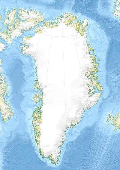 Location in Greenland | |
| Country | Greenland |
| Range coordinates | 68°53′N 28°37′W |
| Parent range | Watkins Range |
The range is part of the greater Watkins Range and is named after Danish polar explorer Ejnar Mikkelsen. The highest peak is one of the most impressive mountains in Greenland and has a good reputation among alpinists.[2] It was first climbed in 1970 by Andrew Ross leading a Scottish team,[3] and for the second time in 1998 by Roland Aeschimann leading a Swiss team.[4]
Geography
The Ejnar Mikkelsen Range is a long nunatak with high peaks extending for about 23 km (14 mi) in a north-south direction. It is located east of the main Watkins Range on the eastern side of the Kronborg Glacier and west of the Borgtinderne, another nunatak with high peaks. Its northern end connects with the northern part of the Watkins Range. The area of this range is uninhabited.[5]
Mountains
The highest point in the range is 3,282.7 m (10,770 ft) high Ejnar Mikkelsen Fjeld main peak, a massive mountain having a black rock needle at the top that marks the true summit.[6] None of the other peaks in the nunatak rises above 3,000 m (9,800 ft). This summit is one of the highest summits in Greenland and it is marked as a 3,325 m (10,909 ft) peak in some sources.[7]
- Ejnar Mikkelsen Fjeld (3,282 m); highest peak at 68°53′42″N 28°37′34″W[5]
- Tall peak further south (2,724 m) at 68°50′54″N 28°37′34″W[5]
- Tall peak further north (2,679 m) at 68°56′55″N 28°34′46″W[5]
Climate
Polar climate prevails in the region. The average annual temperature in the area of the range is -14 °C. The warmest month is July when the average temperature reaches -2 °C and the coldest is February when the temperature sinks to -22 °C.[8]
See also
References
- "Ejnar Mikkelsen Fjeld". Mapcarta. Retrieved 3 August 2016.
- Mountain Info
- North America, Greenland, Ejnar Mikkelsen Fjeld Ascent
- The Development of Mountaineering in East and North-East Greenland - An Outline History
- Google Earth
- Summit Post - Ejnar Mikkelsens Fjeld
- "Ejnar Mikkelsen Fjeld, Greenland". Peakbagger. Retrieved 3 August 2016.
- "NASA Earth Observations Data Set Index". NASA. Retrieved 30 January 2016.
External links
- The Development of Mountaineering in East and North-East Greenland- An Outline History
- The Kap Gustav Holm Tertiary Plutonic Centre, East Greenland
- Tertiary Magmatism In East Greenland And Hotspot Magmatism Worldwide