Edwalton, Nottinghamshire
Edwalton is a suburb to the south of Nottingham in England, contiguous to West Bridgford and Gamston, and is composed of the older Edwalton village and several, much larger, post-war housing estates. The population of the Rushcliffe Ward called Edwalton Village at the 2011 Census was 3,908.[1]
| Edwalton | |
|---|---|
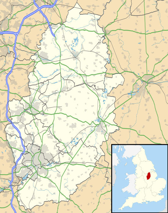
 Edwalton Location within Nottinghamshire | |
| Population | 3,908 (Ward. 2011) |
| OS grid reference | SK 59708 35357 |
| District | |
| Shire county | |
| Region | |
| Country | England |
| Sovereign state | United Kingdom |
| Post town | NOTTINGHAM |
| Postcode district | NG12 |
| Dialling code | 0115 |
| Police | Nottinghamshire |
| Fire | Nottinghamshire |
| Ambulance | East Midlands |
| UK Parliament | |
History
One of the earliest mention of Edwalton village is in the Domesday book where it is listed amongst the lands given to Hugh de Grandmesnil[2] by the King. The land required more than three ploughs and consisted of 20 acres (8.1 ha) of meadow.
Since the marriage of the heir to the Musters' family estate (West Bridgford's former landowners) into the Chaworth family, the areas of West Bridgford and Edwalton have been conjoined, first as the West Bridgford Urban District Council, and now as part of Rushcliffe Borough Council.
Property
While the official boundaries of Edwalton are debatable, Boundary Road is commonly accepted as the border between West Bridgford and Edwalton.
Edwalton contains some of Nottingham's most expensive properties, with Valley Road, Melton Road, Croft Road and Village Street containing properties worth over one million pounds. Edwalton Hall is the largest property in the suburb, and is now an exclusive complex of mews houses and apartments. Originally the private residence of the Chaworth family, it later became a hotel and restaurant before being developed by Crosby Homes. The complex includes a gym, swimming pool and croquet lawn. In recent years a number of developers have been developing new housing estates on the area known locally as Sharphill Farm. The estates are made up primarily of high spec, prestigious family homes, priced accordingly due to excellent road links for commuters and outstanding schools for children.
Edwalton is varied architecturally. Landmark bespoke houses are common, but the majority of Edwalton is now composed of large post-war housing estates, first constructed in the early 1950s, but with subsequent estates constructed during the 1980s to the present day. Many council houses and flats were privately bought under the Right to buy scheme of the 1980s. Only a small number of properties now belong to Rushcliffe Borough Council as its housing stock was dissolved in early 2003, with ownership transferring to Spirita Housing Association. On 1 April 2012 Spirita housing association was dissolved and ownership of the former council housing stock was taken over by Metropolitan Housing Association Group (London based).
Facilities
Edwalton has a state primary school, the Church of the Holy Rood, Edwalton, and a golf course. There is also a Londis, a post office, a newsagent, a café, a hair salon, pharmacy and a dog groomer within the main shopping area of Earlswood Drive.
The previous plans to form a parish council for Edwalton were rejected after a two-stage consultation process culminating in a report issued in Feb 2014 by Rushcliffe Borough Council.
Edwalton Community Church on Wellin Lane is a busy church offering the community services such as Pre-School, a Toddles Group, a Ladies Fellowship Group and children's activities. They also run a "Blessings in a Box" scheme for families who are financially challenged.
Bus transport
- Nottingham City Transport
- 6: Nottingham – West Bridgford – Edwalton
- Trent Barton
References
- "Ruscliffe Ward population 2011". Neighbourhood Statistics. Office for National Statistics. Retrieved 8 April 2016.
- Domesday Book: A Complete Transliteration. London: Penguin, 2003. p. 779 ISBN 0-14-143994-7
External links
Churches:
Schools:
Amenities: