Eduard Nunatak
Eduard Nunatak (Bulgarian: нунатак Едуард, romanized: Nunatak Eduard, IPA: [ˈnunɐtak ˈɛduɐrt]) is the rocky ridge 2.32 km long in northwest–southeast direction and 1.14 km wide, rising to 683 m on Oscar II Coast in Graham Land, Antarctica. It surmounts Artanes Bay on the east and Vaughan Inlet on the west.[1]
The feature is named after Roman Eduard, boatman at St. Kliment Ohridski base during the 2010/11 and subsequent Bulgarian Antarctic campaigns.[1]
Location
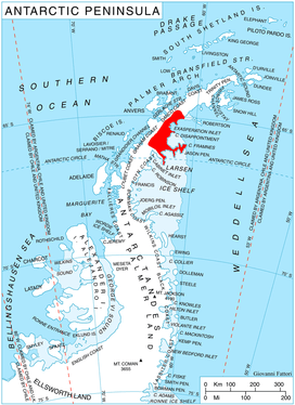
Eduard Nunatak is located at 65°00′47″S 61°21′08″W, which is 4.6 km northeast of Shiver Point, 8 km east-southeast of Mural Nunatak, 5.7 km southwest of Skilly Peak and 12.5 km west-northwest of Cape Fairweather.
Maps
- Antarctic Digital Database (ADD). Scale 1:250000 topographic map of Antarctica. Scientific Committee on Antarctic Research (SCAR). Since 1993, regularly upgraded and updated
Notes
- Eduard Nunatak. SCAR Composite Gazetteer of Antarctica
References
- Eduard Nunatak. SCAR Composite Gazetteer of Antarctica
- Bulgarian Antarctic Gazetteer. Antarctic Place-names Commission. (details in Bulgarian, basic data in English)
External links
- Eduard Nunatak. Adjusted Copernix satellite image
This article includes information from the Antarctic Place-names Commission of Bulgaria which is used with permission.