Artanes Bay
Artanes Bay (Bulgarian: залив Артанес, ‘Zaliv Artanes’ \'za-liv 'ar-ta-nes\) is the 14 km wide cove indenting for 6.2 km Oscar II Coast in Graham Land, Antarctica, and entered west of Cape Fairweather and east of Shiver Point. It was formed as a result of the break-up of Larsen Ice Shelf in the area in 2002, and subsequent retreat of Rogosh Glacier.
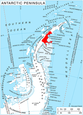
Location of Oscar II Coast on Antarctic Peninsula.
The feature is named after the ancient settlement of Artanes in northwestern Bulgaria.
Location
Artanes Bay is located at 65°01′00″S 61°11′00″W. SCAR Antarctic Digital Database mapping in 2012.
Maps
- Antarctic Digital Database (ADD). Scale 1:250000 topographic map of Antarctica. Scientific Committee on Antarctic Research (SCAR). Since 1993, regularly upgraded and updated.
gollark: As in, A-levels are after GCSEs.
gollark: They're the qualification before those.
gollark: I read it before then, but still. English at school is very evil that way.
gollark: 1984 is actually part of the English GCSE course at my school (and/or exam board or whatever, not sure how that works). It's amazing how picking apart random bits of phrasing or whatever for hours on end ruin your enjoyment of a work.
gollark: Vaguely relatedly I think 1984 is entering the public domain next year. Copyright lasts for an excessively long time in my opinion.
References
- Artanes Bay. SCAR Composite Antarctic Gazetteer.
- Bulgarian Antarctic Gazetteer. Antarctic Place-names Commission. (details in Bulgarian, basic data in English)
External links
- Artanes Bay. Copernix satellite image
This article includes information from the Antarctic Place-names Commission of Bulgaria which is used with permission.
This article is issued from Wikipedia. The text is licensed under Creative Commons - Attribution - Sharealike. Additional terms may apply for the media files.