Dzhalinda
Dzhalinda (Russian: Джалинда) is a rural locality (a selo) and the administrative center of Dzhalindinsky Selsoviet of Skovorodinsky District, Amur Oblast, Russia. The population was 1,123 as of 2018.[2] There are 20 streets.
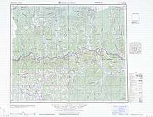
Dzhalinda (1951)
Dzhalinda Джалинда | |
|---|---|
Selo | |
 Dzhalinda  Dzhalinda | |
| Coordinates: 53°29′N 123°53′E[1] | |
| Country | Russia |
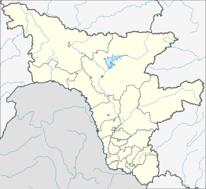
| Region | Amur Oblast |
| District | Skovorodinsky District |
| Time zone | UTC+9:00 |
Geography
It is located on the Amur River, 67 km from Skovorodino.
gollark: Dense cities good, actually?
gollark: Well, you apparently didn't actually mean towns and cities.
gollark: I don't understand what units of the state you're trying to break it into.
gollark: I see.
gollark: I don't see what your analogy is analogising then.
References
- Карта села Джалинда в Амурской области
- "Оценка численности постоянного населения Амурской области по городам и районам". Archived from the original on 2016-04-21. Retrieved 2018-12-26.
This article is issued from Wikipedia. The text is licensed under Creative Commons - Attribution - Sharealike. Additional terms may apply for the media files.