Dunorlan, Tasmania
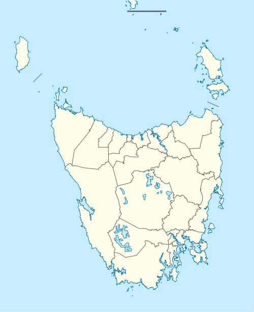
Dunorlan is a locality and small rural community in the local government area of Meander Valley in the North West region of Tasmania. It is located about 43 kilometres (27 mi) south-east of the town of Devonport. The 2016 census determined a population of 108 for the state suburb of Dunorlan.[1]
| Dunorlan Tasmania | |||||||||||||||
|---|---|---|---|---|---|---|---|---|---|---|---|---|---|---|---|
 Dunorlan | |||||||||||||||
| Coordinates | 41°30′02″S 146°34′21″E | ||||||||||||||
| Population | 108 (2016)[1] | ||||||||||||||
| Postcode(s) | 7304 | ||||||||||||||
| Location | 43 km (27 mi) SE of Devonport | ||||||||||||||
| LGA(s) | Meander Valley | ||||||||||||||
| Region | North West | ||||||||||||||
| State electorate(s) | Lyons | ||||||||||||||
| Federal Division(s) | Lyons | ||||||||||||||
| |||||||||||||||
History
The locality was named for Dunorlan Park in England, a property that was developed by Henry Reed, an early settler in the district.[2]
Geography
The Mersey River forms part of the south-west boundary.[3]
Road infrastructure
The C163 route (Bengeo Road) enters the locality from the north-east, runs south through the unbounded locality of Bengeo, and exits to the south-east. The C161 route (Dunorlan Road) starts at an intersection with route C163 and runs west across the locality to the village of Dunorlan. Here it turns north and follows the railway line until it exits. The C160 route (Weegena Road) starts at an intersection in the village and runs west until it exits.[4]
References
- "2016 Census Quick Stats Dunorlan (Tas.)". quickstats.censusdata.abs.gov.au. Australian Bureau of Statistics. 23 October 2017. Retrieved 25 March 2020.
- "Placenames Tasmania - Dunorlan". Placenames Tasmania. Retrieved 25 March 2020.
Search, enter 983W, Search, select row, show Details
- Google (25 March 2020). "Dunorlan, Tasmania" (Map). Google Maps. Google. Retrieved 25 March 2020.
- "Tasmanian Road Route Codes" (PDF). Department of Primary Industries, Parks, Water & Environment. May 2017. Archived from the original (PDF) on 1 August 2017. Retrieved 25 March 2020.