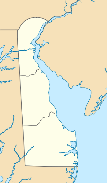
Duck Creek (Smyrna River tributary)
Duck Creek is a 3.86 mi (6.21 km) long 3rd order tributary to Smyrna River in New Castle County, Delaware.
| Duck Creek Tributary to Smyrna River | |
|---|---|
  | |
| Location | |
| Country | United States |
| State | Delaware |
| County | New Castle Kent |
| City | Smyrna |
| Physical characteristics | |
| Source | Duck Creek Pond at the confluence of Green Spring Branch and Providence Creek |
| • location | Smyrna, Delaware |
| • coordinates | 39°18′28″N 075°37′22″W[1] |
| • elevation | 10 ft (3.0 m)[2] |
| Mouth | Smyrna River |
• location | about 1 mile northeast of Smyrna, Delaware |
• coordinates | 39°18′46″N 075°34′29″W[1] |
• elevation | 0 ft (0 m)[2] |
| Length | 3.86 mi (6.21 km)[3] |
| Basin size | 23.13 square miles (59.9 km2)[4] |
| Discharge | |
| • average | 27.89 cu ft/s (0.790 m3/s) at mouth with Smyrna River[4] |
| Basin features | |
| Progression | east |
| River system | Smyrna River |
| Tributaries | |
| • left | Green Spring Branch |
| • right | Providence Creek Greens Branch |
| Bridges | Duck Creek Road, US 13, DE 1, Smyrna Landing Road |
Variant names
According to the Geographic Names Information System, it has also been known historically as:[1]
- Ancke Kijhlen
- Ende Kil
- Green Branch
- Old Duck Creek
- Quinquingo Cipus
- Smyrna River
Course
Duck Creek is formed in Duck Creek Pond at the confluence of Green Spring Branch and Providence Creek at Smyrna, Delaware. Duck Creek then flows east to form the Smyrna River with Mill Creek about 1 mile northeast of Smyrna, Delaware.[2]
Watershed
Duck Creek drains 23.13 square miles (59.9 km2) of area, receives about 44.5 in/year of precipitation, has a topographic wetness index of 611.58 and is about 3.4% forested.[4]
gollark: ... of course it is.
gollark: Is .pizza even a real tLD?
gollark: I am NOT being paid by pizza companies to subliminally advertise tasty pizza, available now, visit https://pizza.pizza, by the way.
gollark: Oh, now you assume that I can just "edit images" now.
gollark: How could you mistake tilings of the hyperbolic plane for pizza?
See also
References
- "GNIS Detail - Duck Creek". geonames.usgs.gov. US Geological Survey. Retrieved 2 March 2020.
- "Duck Creek Topo Map, Kent County DE (Smyrna Area)". TopoZone. Locality, LLC. Retrieved 2 March 2020.
- "ArcGIS Web Application". epa.maps.arcgis.com. US EPA. Retrieved 2 March 2020.
- "Duck Creek Watershed Report". Waters Geoviewer. US EPA. Retrieved 2 March 2020.
This article is issued from Wikipedia. The text is licensed under Creative Commons - Attribution - Sharealike. Additional terms may apply for the media files.
