Double Run (Spring Creek tributary)
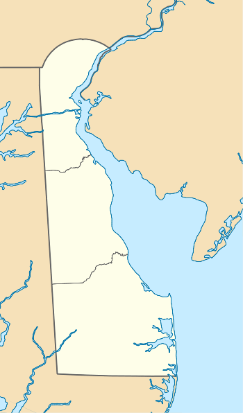
Double Run is a 6.65 mi (10.70 km) long 2nd order tributary to Spring Creek in Kent County, Delaware.
| Double Run Tributary to Spring Creek | |
|---|---|
 Location of Double Run mouth  Double Run (Spring Creek tributary) (the United States) | |
| Location | |
| Country | United States |
| State | Delaware |
| County | Kent |
| Physical characteristics | |
| Source | Heron Drain divide |
| • location | about 0.25 miles north of Breezewood, Delaware |
| • coordinates | 39°03′19″N 075°33′59″W[1] |
| • elevation | 50 ft (15 m)[2] |
| Mouth | Spring Creek |
• location | about 1.5 miles north of Frederica, Delaware |
• coordinates | 39°01′41″N 075°28′50″W[1] |
• elevation | 0 ft (0 m)[2] |
| Length | 6.65 mi (10.70 km)[3] |
| Basin size | 9.27 square miles (24.0 km2)[4] |
| Discharge | |
| • location | Spring Creek |
| • average | 11.18 cu ft/s (0.317 m3/s) at mouth with Spring Creek[4] |
| Basin features | |
| Progression | east and southeast |
| River system | Murderkill River |
| Tributaries | |
| • left | Thorndyk Branch |
| • right | unnamed tributaries |
| Bridges | US 13, Barney Jenkins Road, Peachtree Run, Woodlytown Road, Irish Hill Road, Barretts Chapel Road |
Variant names
According to the Geographic Names Information System, it has also been known historically as:[1]
- Amsterdam Branch
- Bucks Branch
Course
Double Run rises on the Heron Drain divide about 0.25 miles north of Breezewood, Delaware. Double Run then flows east then southeast to meet Spring Creek about 1.5 miles north of Frederica, Delaware.[2]
Watershed
Double Run drains 9.27 square miles (24.0 km2) of area, receives about 44.8 in/year of precipitation, has a topographic wetness index of 575.19 and is about 9.7% forested.[4]
gollark: Hmm, insect levels seem to have been higher than usual lately, and it troubles me.
gollark: In normal programming languages, we solve this with "loop" technology, or sometimes higher-order functions (which do loops internally).
gollark: I only meant it semimetaironically, but sure.
gollark: SIMD in asm2bf when?
gollark: Hmm. Well. No idea then.
See also
- List of Delaware rivers
Maps
.gif)
Course of Double Run (Spring Creek tributary)
.gif)
Watershed of Double Run (Spring Creek tributary)
References
- "GNIS Detail - Double Run". geonames.usgs.gov. US Geological Survey. Retrieved 13 March 2020.
- "Double Run Topo Map, Kent County DE (Frederica Area)". TopoZone. Locality, LLC. Retrieved 13 March 2020.
- "ArcGIS Web Application". epa.maps.arcgis.com. US EPA. Retrieved 13 March 2020.
- "Double Run Watershed Report". Waters Geoviewer. US EPA. Retrieved 13 March 2020.
Dover (capital) | ||
| Topics |
|  |
| Society |
| |
| Cities | ||
| Towns |
| |
| Counties | ||
This article is issued from Wikipedia. The text is licensed under Creative Commons - Attribution - Sharealike. Additional terms may apply for the media files.