Domah
Domah or Doma is a mandal in Rangareddi district of Telangana, India.
Doma | |
|---|---|
mandal | |
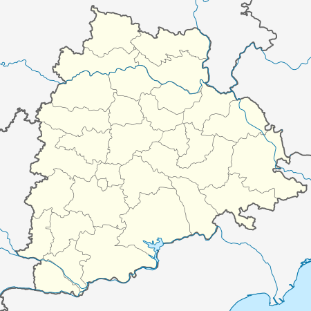 Doma Location in Telangana, India  Doma Doma (India) | |
| Coordinates: 17.0833°N 77.8333°E | |
| Country | |
| State | Telangana |
| District | Rangareddi |
| Elevation | 558 m (1,831 ft) |
| Languages | |
| • Official | Telugu |
| Time zone | UTC+5:30 (IST) |
| Vehicle registration | TS-28 |
| Website | telangana |
Geography
Domah is located at 17.0833°N 77.8333°E.[1] It has an average elevation of 558 meters (1833 feet).
Villages
Doma consists of 49 Villages and 21 Panchayats. Ananthareddipalle is the smallest village and Mothkur is the biggest village. It is in the 547 m elevation. It is on the border of the Rangareddi District and Mahbubnagar District. Mahbubnagar District Bomraspeta is west towards this place.
Panchayats
Ainapur Bachpally, Badampally, Bompally, Brahmanpally, Budlapur, Dadapur, Dirsampally, Doma, Sanjeev nagar, Dornalpally, Gudur, Gumdal, Kistapur, Mailaram, Mallepally, Mothukur, Ootpally, Palepally, Rakonda Sivareddypally.
gollark: You can see, then, why it seems unlikely that there are real 1TB ones for $30 or so.
gollark: I thought so, but last I checked even a bottom-end 120GB SSD was £15 or so, and 1TB about £80.
gollark: When you say "thumbdrive" do you mean some sort of miniature HDD or whatever?
gollark: A veritable ocean of fish.
gollark: 1TB of *flash* storage for $30? Sounds very fishy.
This article is issued from Wikipedia. The text is licensed under Creative Commons - Attribution - Sharealike. Additional terms may apply for the media files.