District 8, Ho Chi Minh City
District 8 (Vietnamese: Quận 8) is an urban district (quận) of Ho Chi Minh City, the largest city in Vietnam.
District 8 Quận 8 | |
|---|---|
 Position in HCMC's core | |
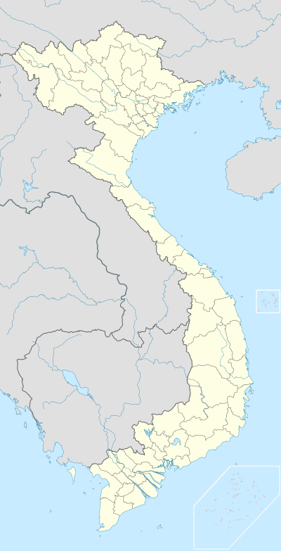
 District 8 Location in Vietnam | |
| Coordinates: 10°43′24″N 106°37′40″E | |
| Country | |
| Centrally governed city | Ho Chi Minh City |
| Seat | 4 Phạm Thế Hiển |
| Wards | 16 phường |
| Area | |
| • Total | 19 km2 (7 sq mi) |
| Population (2018) | |
| • Total | 451,290 |
| • Density | 24,000/km2 (62,000/sq mi) |
| Demographics | |
| • Main ethnic groups | predominantly Kinh |
| Time zone | UTC+07 (ICT) |
| Website | quan8.hochiminhcity.gov.vn |
As of 2010, the district had a population of 418,961 and an area of 19 km2 (7.3 sq mi).[1] It is divided into 16 small subsets called wards (phường), numbered from Ward 1 to Ward 16.
Geographical location
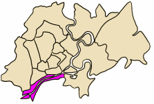
District 8 borders District 5 and District 6 to the north, District 4 and District 7 to the east, Bình Chánh District to the south, and Bình Tân District to the west.

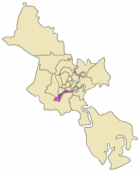
Map showing the location of District 8 within metropolitan Ho Chi Minh City
gollark: We have two days, I'm sure we can make negotiations for reassignments later.
gollark: They really should just be allowed to use channel names for said counters. Discord is SUCH an apioform sometimes?
gollark: I don't think so.
gollark: I... see?
gollark: Can someone provide a rundown of who has how many votes?
References
- "HCMC's Population and population density in 2010 by district". HCMC Office of Statistics. Retrieved Feb 4, 2014.
This article is issued from Wikipedia. The text is licensed under Creative Commons - Attribution - Sharealike. Additional terms may apply for the media files.

