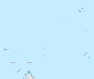
Desroches Airport
Desroches Airport (IATA: DES, ICAO: FSDR) is an airport serving Desroches Island (Île Desroches) in the Seychelles.
Desroches Island Airport | |||||||||||
|---|---|---|---|---|---|---|---|---|---|---|---|
| Summary | |||||||||||
| Airport type | Private | ||||||||||
| Operator | Island Development Company (IDC)[1] | ||||||||||
| Location | Desroches Island, Seychelles | ||||||||||
| Elevation AMSL | 10 ft / 3 m | ||||||||||
| Coordinates | 05°41′45″S 53°39′15″E | ||||||||||
| Map | |||||||||||
 DES Location of airport in Seychelles | |||||||||||
| Runways | |||||||||||
| |||||||||||
Desroches Island, a former coconut and timber plantation,[5] is the main island of the Amirante Islands, part of the Outer Islands. It is 230 kilometres (143 mi) southwest of Victoria, the capital of the Seychelles on Mahé island.
Airlines and Destinations
| Airlines | Destinations |
|---|---|
| Air Seychelles | Charter: Mahé |
gollark: Infipage records are now tracked.
gollark: For InternalSystemAchievementHandlerForgeBuildSystemMonitor, I mean.
gollark: There's already "test".
gollark: yæy
gollark: Sensibly?
See also

- Transport in Seychelles
- List of airports in Seychelles
References
- Islands Development Corporation
- Airport information for FSDR
- Airport information for Desroches Airport at Great Circle Mapper.
- Google Maps - Desroches
- Desroches history Archived 2016-04-13 at the Wayback Machine
External links
- OpenStreetMap - Desroches
- OurAirports - Desroches
- FallingRain - Desroches Airport
- Accident history for Desroches Airport at Aviation Safety Network
This article is issued from Wikipedia. The text is licensed under Creative Commons - Attribution - Sharealike. Additional terms may apply for the media files.