Degehabur (woreda)
Degehabur (Somali Dhagaxbuur) is one of the woredas in the Somali Region of Ethiopia. Part of the Degehabur Zone, Degehabur is bordered on the southeast by the Gunagado and Korahe Zone, on the southwest by the Fiq Zone, on the west by Degehamedo, on the north by the Jijiga Zone, and on the east by Aware; it is frequently considered part of the Haud. The administrative center of this woreda is Degehabur.
Degehabur | |
|---|---|
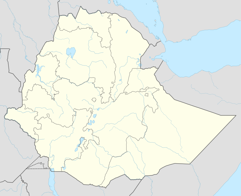 Degehabur Location within Ethiopia | |
| Coordinates: 8°13′N 43°34′E | |
| Country | Ethiopia |
| Region | Somali |
| Zone | Degehabur |
| Elevation | 1,044 m (3,425 ft) |
| Population (2015) | |
| • Total | 192,555 |
| Time zone | UTC+3 (EAT) |
The two perennial rivers in Degehabur are the Fafen and the Jerer. As of 2008, Degehabur has 68 kilometers of asphalt, 62 of all-weather gravel road, and 387 of community roads; about 24.4% of the total population has access to drinking water.[1]
This woreda was reported in October 1974 to have been the area worst hit by the Hararghe famine.[2]
Demographics
Based on the 2007 Census conducted by the Central Statistical Agency of Ethiopia (CSA), this woreda has a total population of 115,555, of whom 65,081 are men and 50,474 women. While 30,027 or 25.99% are urban inhabitants, a further 45,818 or 39.65% are pastoralists. 98.6% of the population said they were Muslim.[3] This woreda is primarily inhabited by the Darod and Isaq clans of the Somali people.
The 1994 national census reported a total population for this woreda of 93,019, of whom 51,729 were men and 41,290 were women; 28,708 or 30.86% were urban inhabitants. The largest ethnic group reported in Degehabur was the Somali people (98.71%).[4]
Notes
- Hailu Ejara Kene, Baseline Survey of 55 Weredas of PCDP Phase II, Part I Archived July 20, 2011, at the Wayback Machine (Addis Ababa: August 2008), Annexes 16, 17
- "Local History in Ethiopia" Archived 2008-02-27 at the Wayback Machine (pdf) The Nordic Africa Institute website (accessed 20 November 2007)
- Census 2007 Tables: Somali Region Archived November 14, 2012, at the Wayback Machine, Tables 2.1, 2.4, 3.1 and 3.4.
- 1994 Population and Housing Census of Ethiopia: Results for Somali Region, Vol. 1 Archived November 19, 2008, at the Wayback Machine, Tables 2.1, 2.7, 2.12,
Woredas of the Degehabur Zone | ||
|---|---|---|