Defence Island Wildlife Sanctuary
Defence Island is an island of the Andaman Islands. It belongs to the South Andaman administrative district, part of the Indian union territory of Andaman and Nicobar Islands.[5] the island is lying 33.5 km (21 mi) north from Port Blair.
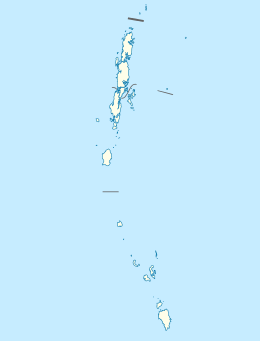 Defence Island Location of Defence Island | |
| Geography | |
|---|---|
| Location | Bay of Bengal |
| Coordinates | 11.95°N 92.60°E |
| Archipelago | Andaman Islands |
| Adjacent bodies of water | Indian Ocean |
| Area | 5.04 km2 (1.95 sq mi)[1] |
| Length | 5.4 km (3.36 mi) |
| Width | 1.4 km (0.87 mi) |
| Coastline | 14.4 km (8.95 mi) |
| Highest elevation | 0 m (0 ft) |
| Administration | |
| District | South Andaman |
| Island group | Andaman Islands |
| Island sub-group | Defence Islands, Andaman |
| Tehsil | Ferrargunj Tehsil |
| Demographics | |
| Population | 0 (2011) |
| Additional information | |
| Time zone | |
| PIN | 744202[2] |
| Area code(s) | 031927 [3] |
| ISO code | IN-AN-00[4] |
| Official website | www |
| Literacy | 84.4% |
| Avg. summer temperature | 30.2 °C (86.4 °F) |
| Avg. winter temperature | 23.0 °C (73.4 °F) |
| Sex ratio | 1.2♂/♀ |
| Census Code | 35.639.0004 |
| Official Languages | Hindi, English |
Geography
The island belongs to the Defence Group and lies in the sound of Jirkatang.
Administration
Politically, Defence Island, along neighboring islands, is part of Ferrargunj Taluk.[6]
gollark: You could try the windows subsystem for Linux, apparently it mostly works.
gollark: What's a Metrovania?
gollark: Good ones, mostly, it seems popular.
gollark: Maybe I should buy this "Terraria", I have heard things about it.
gollark: What, so when someone comes up with something, you try and retroactively work it in as something already being done?
References
- "Islandwise Area and Population - 2011 Census" (PDF). Government of Andaman.
- "A&N Islands - Pincodes". 22 September 2016. Archived from the original on 23 March 2014. Retrieved 22 September 2016.CS1 maint: BOT: original-url status unknown (link)
- "STD Codes of Andaman and Nicobar". allcodesindia.in. Retrieved 23 September 2016.
- Registration Plate Numbers added to ISO Code
- "Village Code Directory: Andaman & Nicobar Islands" (PDF). Census of India. Retrieved 16 January 2011.
- "DEMOGRAPHIC – A&N ISLANDS" (PDF). andssw1.and.nic.in. Retrieved 23 September 2016.

This article is issued from Wikipedia. The text is licensed under Creative Commons - Attribution - Sharealike. Additional terms may apply for the media files.