Daw's House
Daw's House is a hamlet in the parish of South Petherwin, Cornwall, England.[1][2]
| Daw's House | |
|---|---|
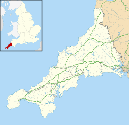 Daw's House Location within Cornwall | |
| OS grid reference | SX 314 829 |
| Civil parish |
|
| Unitary authority | |
| Ceremonial county | |
| Region | |
| Country | England |
| Sovereign state | United Kingdom |
| Post town | LAUNCESTON |
| Postcode district | PL15 |
| Dialling code | 01566 |
| UK Parliament | |
References
- Ordnance Survey: Landranger map sheet 201 Plymouth & Launceston (Tavistock & Looe) (Map). Ordnance Survey. ISBN 978-0-319-23287-3.
- "Ordnance Survey: 1:50,000 Scale Gazetteer" (csv (download)). www.ordnancesurvey.co.uk. Ordnance Survey. 1 January 2016. Retrieved 18 February 2016.
Cornwall Portal | |
| Unitary authorities | |
| Major settlements |
|
| Rivers | |
| Topics | |
This article is issued from Wikipedia. The text is licensed under Creative Commons - Attribution - Sharealike. Additional terms may apply for the media files.