Dajti National Park
Dajti National Park (Albanian: Parku Kombëtar i Malit të Dajtit) is a national park established in 1966 in central Albania, spanning an area of 293.84 km2 (113.45 sq mi) since 2006. The park is 40 km (25 mi) east of the Adriatic Sea and 26 km (16 mi) east of Tirana.[4] The area is under shared jurisdiction between Albanian Agency of Protected Areas (AKZM) and Tirana Municipality Parks and Recreation Agency (APR). It is adjacent to Shtamë Pass National Park to the northwest, Kraste-Verjon Protected Landscape to the west, and Mali me Gropa-Bizë-Martanesh Protected Landscape to the east. The park is marked by an extremely fragmented, rugged topography which creates favourable conditions for a great diversity of ecosystems and biodiversity.
| Dajti Mt National Park | |
|---|---|
IUCN category II (national park) | |
 Dajti Tower | |
 Location within Albania 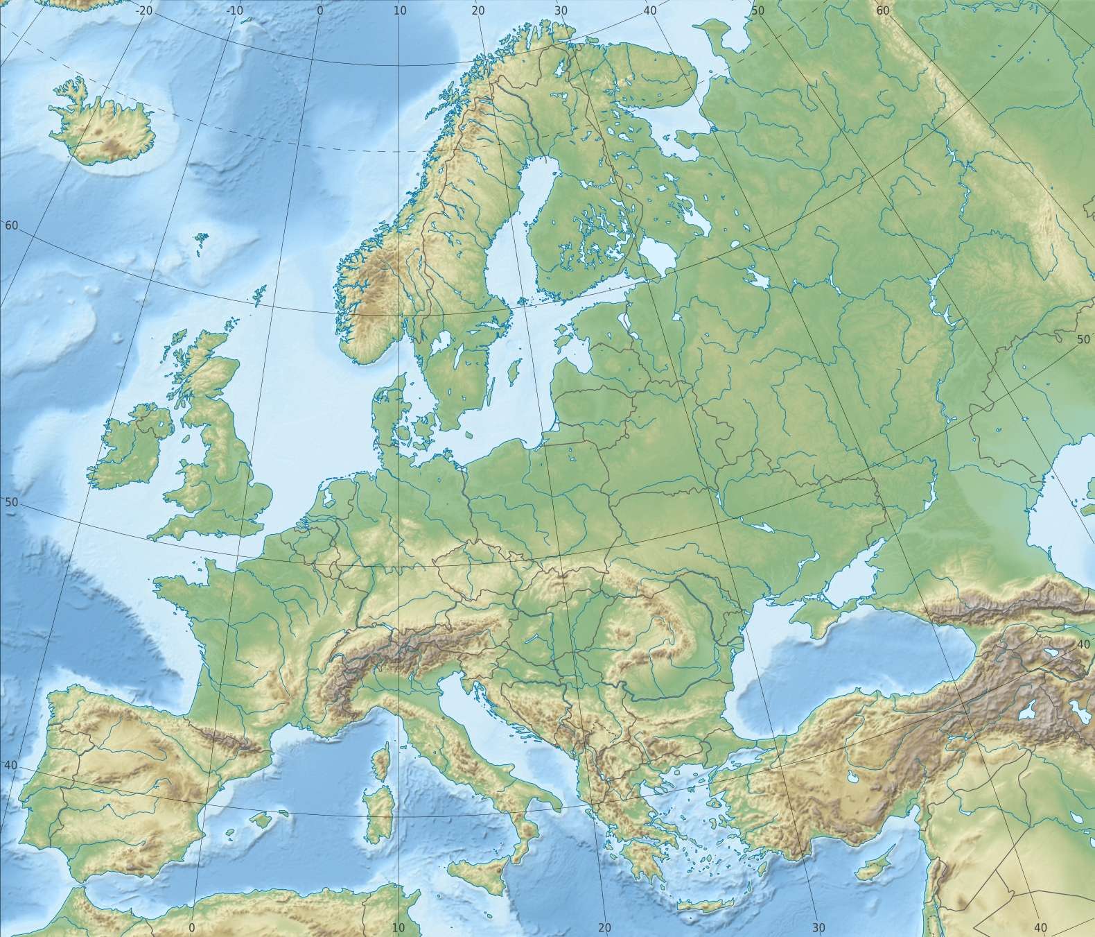 Dajti National Park (Europe) | |
| Location | Tirana County |
| Nearest city | Tirana |
| Coordinates | 41°21′57″N 19°55′32″E |
| Area | 29,384 hectares (293.84 km2) |
| Established | 1966[1][2][3] 2006 Expanded |
| Governing body | Ministry of Environment |
The International Union for Conservation of Nature (IUCN) has listed the park as Category II. The park has been recognized as an Important Plant Area of international importance by Plantlife.[5]
In 2017, the new Dajti Mt National Park tourist information center was opened, located near the TV and Radio towers along SH47 road in Fushe Dajt.[6]
The area is known for its traditional restaurants serving local dishes according to the slow food tradition.
Geology
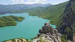
Dajti massif, a mountain chain that rises to an elevation of 1,613 m (5,292 ft), comprises besides Dajti, Priska to the south, Tujani in the center and Brari to the north.[7][8] Climbers of the mountain can view down into the city of Tirana and over the mountains of the region. Due to the panoramic view, this place has been named as the Balcony of Tirana. One of Tirana's main water sources, Lake Bovilla, is located to the northeast of Brar with steep cliffs and a canyon. On the other extremity of the park along Erzen River is found the prehistoric Pellumbas Cave located in the Skorana Gorge, which has been formed by the river. Another natural attraction is the Shëngjini Waterfalls located near Shëngjergj village.
Flora and Fauna
Dajti's varied geology and topography have resulted in a variety of flora and fauna. In addition to the forests and mountain landscapes with many wild flowers, numerous mammals are protected as well. The park is inhabited by wild boar, Eurasian wolf, red fox, European hare, brown bear, squirrel, and European wildcat. In the lower part of the mountains, the vegetation consists of scrubland and heath, myrtle and fragaria. Oak dominates at around 600-1,000 m altitude interspersed with beech and maple forests and some conifers above 1,000 m altitude. The rocky top has little vegetation.
Forest fires and deforestation
In the 2010s, deforestation has become a major problem on the mountain. In the summer of 2012 and spring 2019,[9] forest fires burned down 10 ha of forests at the Priska summit and partially Dajti in 2017, requiring authorities to extinguish it only with the help of helicopters.[10] The damage was extensive at the summits and can be clearly seen from Tirana.
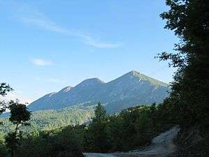 Dajti from the east |
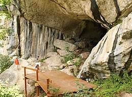 Pellumbas Cave |
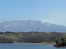 Priska Mt forest fires in 2019 |
References
- http://akzm.gov.al/lista-zonave-mbrojtura/park-kombetar/item/13-parku-kombetar-mali-i-dajtit
- "tirana.al/" (PDF). tirana.al. p. 39. Archived from the original (PDF) on 2018-07-12. Retrieved 2017-10-23.
- "Vendim Nr. 402 (21. Juni 2006): Për shpalljen e ekosistemit natyror të Malit të Dajtit „Park Kombëtar" (me sipërfaqe të zgjeruar)" (PDF) (in Albanian). Archived from the original (PDF) on 2015-12-27. Retrieved 2015-12-27.
- "Dajti National Park A Recreational Area for Citizens of Tirana, Albania" (PDF). mmv.boku.ac.at. p. 432.
- IUCN, World Wide Fund for Nature, Plantlife. "Important Plant Areas of the south and east Mediterranean region" (PDF). portals.iucn.org. p. 75.CS1 maint: multiple names: authors list (link)
- http://ata.gov.al/2019/03/25/inaugurohet-qendra-e-re-e-vizitoreve-ne-parkun-kombetar-te-dajtit/
- "Dajti Mountain National Park". akzm.gov.al.
- "Figure 1. Dajti National Park (Albania), the study area". researchgate.net.
- https://shqiptarja.com/lajm/zjarr-ne-malin-e-dajtit
- http://gazeta-shqip.com/lajme/2012/08/16/zjarret-ne-dajt/
