Czajków Południowy
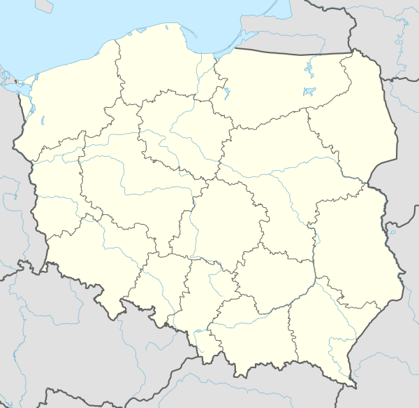
Czajków Południowy[2][3][4] [ˈt͡ʂai̯kuf pɔwudˈɲɔvɨ] is a village in the administrative district of Gmina Staszów, within Staszów County, Świętokrzyskie Voivodeship, in south-central Poland. It lies approximately 10 kilometres (6 mi) east of Staszów and 60 km (37 mi) south-east of the regional capital Kielce.[5]
Czajków Południowy | |
|---|---|
Village | |
 Czajków Południowy | |
| Coordinates: 50°34′06″N 21°18′25″E | |
| Country | |
| Voivodeship | Świętokrzyskie |
| County | Staszów |
| Gmina | Staszów |
| Sołectwo | Czajków Południowy |
| Elevation | 193.2 m (633.9 ft) |
| Population (31 December 2009 at Census)[1] | |
| • Total | |
| Time zone | UTC+1 (CET) |
| • Summer (DST) | UTC+2 (CEST) |
| Postal code | 28-200 |
| Area code(s) | +48 15 |
| Car plates | TSZ |
The village has a population of ![]()
Demography
According to the 2002 Poland census, there were 339 people residing in Czajków Południowy village, of whom 50.1% were male and 49.9% were female. In the village, the population was spread out with 25.7% under the age of 18, 36.6% from 18 to 44, 19.5% from 45 to 64, and 18.3% who were 65 years of age or older.[1]
Table 1. Population level of village in 2002 — by age group[1] SPECIFICATION Measure
unitPOPULATION
(by age group in 2002)TOTAL 0-9 10-19 20-29 30-39 40-49 50-59 60-69 70-79 80 + I. TOTAL person 339 43 52 50 38 50 41 21 32 12 — of which in % 100 12.7 15.3 14.7 11.2 14.7 12.1 6.2 9.4 3.5 1. BY SEX A. Males person 170 19 30 25 18 26 26 10 10 6 — of which in % 50.1 5.6 8.8 7.4 5.3 7.7 7.7 2.9 2.9 1.8 B. Females person 169 24 22 25 20 24 15 11 22 6 — of which in % 49.9 7.1 6.5 7.4 5.9 7.1 4.4 3.2 6.5 1.8
Figure 1. Population pyramid of village in 2002 — by age group and sex[1]
Table 2. Population level of village in 2002 — by sex[1] SPECIFICATION Measure
unitPOPULATION
(by sex in 2002)TOTAL Males Females I. TOTAL person 339 170 169 — of which in % 100 50.1 49.9 1. BY AGE GROUP A. At pre-working age person 87 46 41 — of which in % 25.7 13.6 12.1 B. At working age. grand total person 190 101 89 — of which in % 56 29.8 26.2 a. at mobile working age person 124 61 63 — of which in % 36.6 18 18.6 b. at non-mobile working age person 66 40 26 — of which in % 19.5 11.8 7.7 C. At post-working age person 62 23 39 — of which in % 18.3 6.8 11.5

gollark: (also, this is probably more <#496135660831375370>)
gollark: (this isn't about a single actual physical molecule or something changing, but the genes for it changing slightly over time and producing different verisons)
gollark: I guess so. If you need, say, ten changes to an enzyme to bring it from one state to a much better one, but it works much worse/totally breaks while it's in the middle of both, it's hard for it to evolve to the better version.
gollark: If one what is stuck?
gollark: I was going to say, though: with human eyes - the light-sensitive bit is behind some other stuff, and while a goal-directed human engineer would probably go "I'll just rotate this thing then", if you don't have a convenient series of changes which still leave everything working in each intermediate state, you can't really get it evolving into the new version.
References
- "Local Data Bank (Bank Danych Lokalnych) – Layout by NTS nomenclature (Układ wg klasyfikacji NTS)". demografia.stat.gov.pl: GUS. 10 March 2011.
- Bielec, Jan (ed.); Szwałek, Stanisława (1980). Wykaz urzędowych nazw miejscowości w Polsce. T. I: A – J [List of official names of localities in Poland, Vol. I: A – J] (in Polish). Ministry of Administration, Spatial Economy and Environmental Protection (1st ed.). Warsaw, Poland: Central Statistical Office.CS1 maint: extra text: authors list (link)
- Sitek, Janusz (1991). Nazwy geograficzne Rzeczypospolitej Polskiej [Geographical names of the Republic of Poland] (in Polish). Ministry of Physical Planning and Construction, Surveyor General of Poland, Council of Ministers' Office, Commission for Establishing Names of Localities and Physiographical Objects (1st ed.). Warsaw, Poland: Eugeniusz Romer State Cartographical Publishing House. ISBN 83-7000-071-1.
- "Czajków Południowy, wieś, gmina Staszów — obszar wiejski, powiat staszowski, województwo świętokrzyski" [Czajków Południowy, village, Staszów Commune — rural area, Staszów County, Świętokrzyskie Province, Poland]. Topographical map prepared in 1:10,000 scale. Aerial and satellite orthophotomap (in Polish). Head Office of Geodesy and Cartography, Poland, Warsaw. 2011. geoportal.gov.pl. Retrieved 27 April 2011.
- "Central Statistical Office (GUS) - TERYT (National Register of Territorial Land Apportionment Journal)" (in Polish). 2008-06-01.
| Town and seat |  | |
|---|---|---|
| Parts of town |
| |
| Villages |
| |
| Parts of village |
| |
| Colonies |
| |
| Parts of colony |
| |
| Farmstead |
| |
| Hamlets |
| |
| Gamekeeper's cottage |
| |
| Forester's lodge |
| |
This article is issued from Wikipedia. The text is licensed under Creative Commons - Attribution - Sharealike. Additional terms may apply for the media files.