Cyrus, Missouri
Cyrus is an unincorporated community in southeast Stoddard County, in the U.S. state of Missouri.[1] The community was located on Missouri Route U between Bernie four miles to the east and Powe two miles to the west. The location is along a line of low hills, an extension of Crowleys Ridge.[2][3]
History
A post office called Cyrus was established in 1902, and remained in operation until 1905.[4] The community was named after the proprietor of a local mill.[5]
gollark: Point antenna at them, watch as they constantly complain, tell them it wasn't turned on?
gollark: And one of the jailbreaks for it (now outdated) could be triggered just by opening a page in the browser, worryingly.
gollark: The kindle I have seems to run (some form of) Linux, on which everything runs as root.
gollark: I have one of the actual e-ink kindles. They're quite cool, though horribly insecure.
gollark: Base 3 forever!
References
- U.S. Geological Survey Geographic Names Information System: Cyrus, Missouri
- Powe, MO, 7.5 Minute Topographic Quadrangle, USGS, 1984
- Missouri Atlas & Gazetteer, DeLorme, 1st ed., 1998, P.67, ISBN 0899332242
- "Post Offices". Jim Forte Postal History. Retrieved 26 December 2016.
- "Stoddard County Place Names, 1928–1945". The State Historical Society of Missouri. Archived from the original on June 24, 2016. Retrieved December 26, 2016.
Municipalities and communities of Stoddard County, Missouri, United States | ||
|---|---|---|
| Cities | 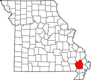 Map of Missouri highlighting Stoddard County | |
| Villages | ||
| Townships | ||
| CDP | ||
| Other unincorporated communities | ||
| Ghost towns | ||
This article is issued from Wikipedia. The text is licensed under Creative Commons - Attribution - Sharealike. Additional terms may apply for the media files.