Cush Earthworks
The Cush Earthworks are a series of earthworks, and a National Monument, located in County Limerick, Ireland.[2][3]
| Cush Earthworks | |
|---|---|
| Native name Irish: Créfort na Coise | |
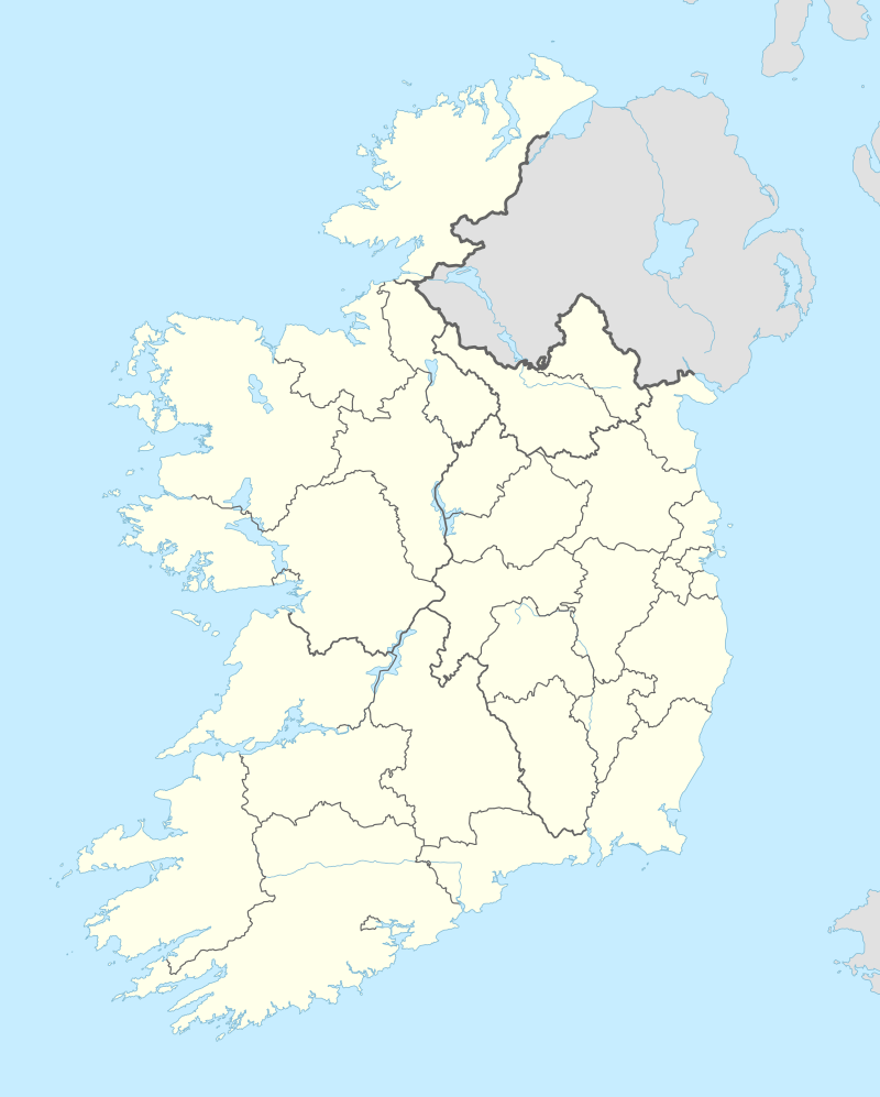 Location of Cush Earthworks in Ireland | |
| Type | Earthworks |
| Location | Cush, Kilfinane, County Limerick, Ireland |
| Coordinates | 52.381130°N 8.442962°W |
| Built | 1000 BC – AD 400 |
| Owner | State |
National Monument of Ireland | |
| Official name: Cush Earthworks | |
| Reference no. | 663[1] |
Location
The Cush Earthworks are located on the western slope of Slievereagh, 3 km (1.9 mi) northwest of Kilfinane, near the headwaters of the River Loobagh.[4]
History
The Cush region was occupied by an Iron Age community from c. 1000 BC to AD 400. Some of the burials are late Bronze Age, but the raths are thought to be no earlier than 3rd century BC.[5]
There were several cist burials, some with food vessels as grave goods.[6]
There were also some souterrains lined with timber and stone.
Excavated in 1932–34. Discovered items included rotary querns, glass beads, an urn, iron slag and burials.[7]
Description
To the south, six raths (each 20 m in diameter) were joined together with a large rectangular enclosure located to the west.[8] To the north lie 6+ more ringforts. Around them are an ancient field system.
References
- https://www.archaeology.ie/sites/default/files/media/pdf/monuments-in-state-care-limerick.pdf
- "Earthworks. Cush, 'Col uatrach', Limerick, Ireland – aerial photo".
- "Proceedings of the Prehistoric Society for ..." University Museum of Archaeology and Ethnology. 1 January 1937 – via Google Books.
- Academy, Royal Irish (1 January 1937). "Proceedings of the Royal Irish Academy: Archaeology, linguistics and literature. Section C." Hodges, Figgis – via Google Books.
- "The Early Development Of Irish Society". CUP Archive – via Google Books.
- Riordain, Sean P. O. (30 October 2014). "Antiquities of the Irish Countryside". Routledge – via Google Books.
- "Historical Walk 2016". 24 May 2016.
- "Cush Earthworks – Cush, Kilfinane - Visit Ballyhoura".