Cristallo (mountain)
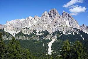
Cristallo (Italian pronunciation: [kriˈstallo]) is a mountain in the Italian Dolomites, northeast of Cortina d'Ampezzo, in the province of Belluno, Veneto, northern Italy. It is a long, indented ridge with four summits higher than 3,000 metres.
| Cristallo | |
|---|---|
 Cristallo, south side | |
| Highest point | |
| Elevation | 3,221 m (10,568 ft) |
| Prominence | 1,416 m (4,646 ft) [1] |
| Coordinates | 46°35′00″N 12°11′00″E |
| Geography | |
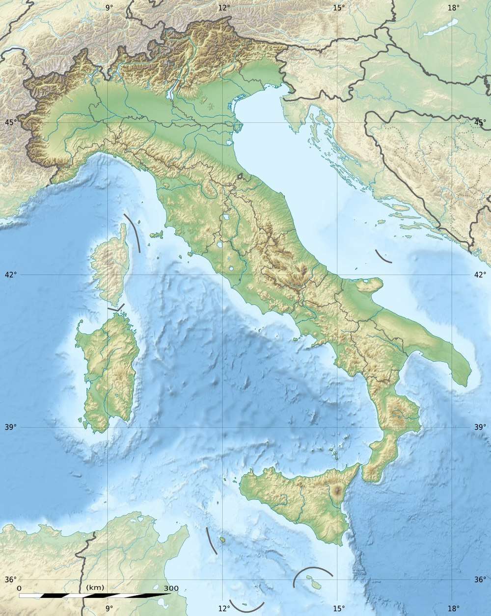
 Cristallo Italy | |
| Location | Belluno, Italy |
| Parent range | Dolomites |
| Climbing | |
| First ascent | 1865 (Paul Grohmann, Angelo Dimai, Santo Siorpaes) |

Peaks
The highest peaks of the Cristallo massif are Monte Cristallo (3,221 m), Piz Popena (3,152 m), Cima di Mezzo (3,154 m), and Cristallino d'Ampezzo (3,008 m). Cima di Mezzo and Cristallino d'Ampezzo can be reached by via ferratas, while Monte Cristallo and Piz Popena both require climbing skills.
First climbs
Geology
Cristallo is largely formed from the Upper Triassic dolomitic rock Dolomia principale. The mountain was formed during Cretaceous, as well as the rest of the Dolomites, due to the collision between the African and European continents.
Access
A cable lift system starts from Rio Gere in Val Begontina, first a lift to Rifugio Son Forca at the upper end of Val Padeon. The gondola lift up to Forcella Staunies (2,919 m), close to Rifugio G. Lorenzi (2,932 m), was built for the Winter Olympics in Cortina in 1956. Both the lift and the refuge closed in summer 2016 due to "technical and administrative problems".[5]
The Dolomite Highway number 3 goes through the eastern part of the massif.
Via ferratas
The two via ferratas VF Ivano Dibona and VF Marino Bianchi both start from the top of the cable car at Forcella Staunies. VF Marino Bianchi can be followed to the peak Cima di Mezzo.[6]
VF Ivano Dibona follows the Zurlon-ridge. It is a historical route used in World War I, and later restored and made safe for tourists.[7][8] At the beginning is the longest via ferrata suspension bridge in the Dolomites, the 27-metre-long Ponte Cristallo.[6][8]
The via ferrata VF Renato de Pol can be used for access from the western side of the Cristallo massif.[6]
Winter sports
Cristallo is one of the major skiing areas in the surroundings of Cortina.
Cabins (rifugi) and restaurants
Some of the cabins and restaurants available are the Rifugio Son Forca at 2,235 m; Capanna Guido Lorenzi at 3,003 m (Auronzo di Cadore); Ristorante Rio Gere at 1,680 m; Ristorante Lago Scin at 1,336 m; Ristorante Staulin at 1,370 m; Ristorante Son Zuogo at 1,800 m.
History
During the World War I there was considerable military activity in the mountain. The front lines between Italian and Austrian troops went through the mountains. Remains of ladders and barracks are still found today, and transport lines (ferratas) have been restored.
Popular culture
In 1993 the film Cliffhanger was shot on and around the bridge on the Zurlon-ridge, as well as some of the other peaks in the area.
References
- Cortina d'Ampezzo e Dolomiti Ampezzane. 1:25,000, Carta Topografica. Casa Editrice Tobacco.
- Karl Felix Wolff (2013) The Dolomites And Their Legends (Bolzano, Edition Raetia), ISBN 978-88-7283-436-7[9]
Notes
- "Monte Cristallo". peakbagger.com. Retrieved 9 January 2016.
- Goedeke, Richard; Kammerer, Hans (1993). 3000er der Dolomiten (in German). Tappeiner Verlag. p. 240. ISBN 88-7076-155-3.
- La Conquista delle vette dolomitiche – abcdolimiti.com (Retrieved on 21 September 2008) (in Italian)
- Allgemeine Informationen über die Geschichte der örtlichen Alpinistik mit besonderem Bezug auf die historischen Aufstiege und auf die "ersten Wege" Archived 14 May 2006 at the Wayback Machine – dolomito.altevio.it (Retrieved on 21 September 2008) (in German)
- http://www.planetmountain.com/en/news/trekking/staunies-historic-cable-car-closes-above-cortina.html
- Smith, John; Graham Fletcher (2002). Via ferratas of the Italian Dolomites: Volume 1 [North, central and east]. UK: Cicerone. pp. 310pp. ISBN 1-85284-362-4.
- Sentiero Ivano Dibona (Retrieved on 21 September 2008)
- Sentiero ferrato Ivano Dibona – (Retrieved on 21 September 2008)
- "Archived copy". Archived from the original on 13 August 2013. Retrieved 11 September 2013.CS1 maint: archived copy as title (link)
